Randonnée : Autour du Lac Perrin
Estérel Côte d'Azur
Pedestrian sports, Hiking itinerary

Randonnée : Autour du Lac Perrin

Une jolie balade familiale qui vous fera presque faire le tour du Lac Perrin avec une magnifique vue sur le Rocher de Roquebrune-sur-Argens.

Description

> ACCÈS

Au rond point des 4 Chemins, suivre Roquebrune-sur-Argens / Les Issambres et continuer sur 1,3km tout droit jusqu’au Lac Perrin sur votre droite.

> POINT DE DÉPART

Coordonnées GPS : 43.451717, 6.633009
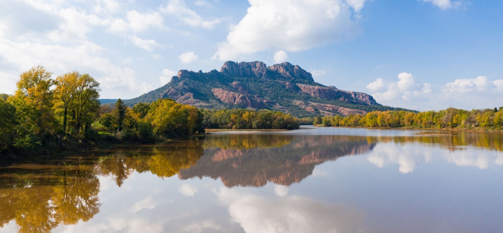
Parking du Lac Perrin

> ITINÉRAIRE
Depuis le parking, prendre à droite en passant derrière le Restaurant du Lac sur le Chemin du Lac.

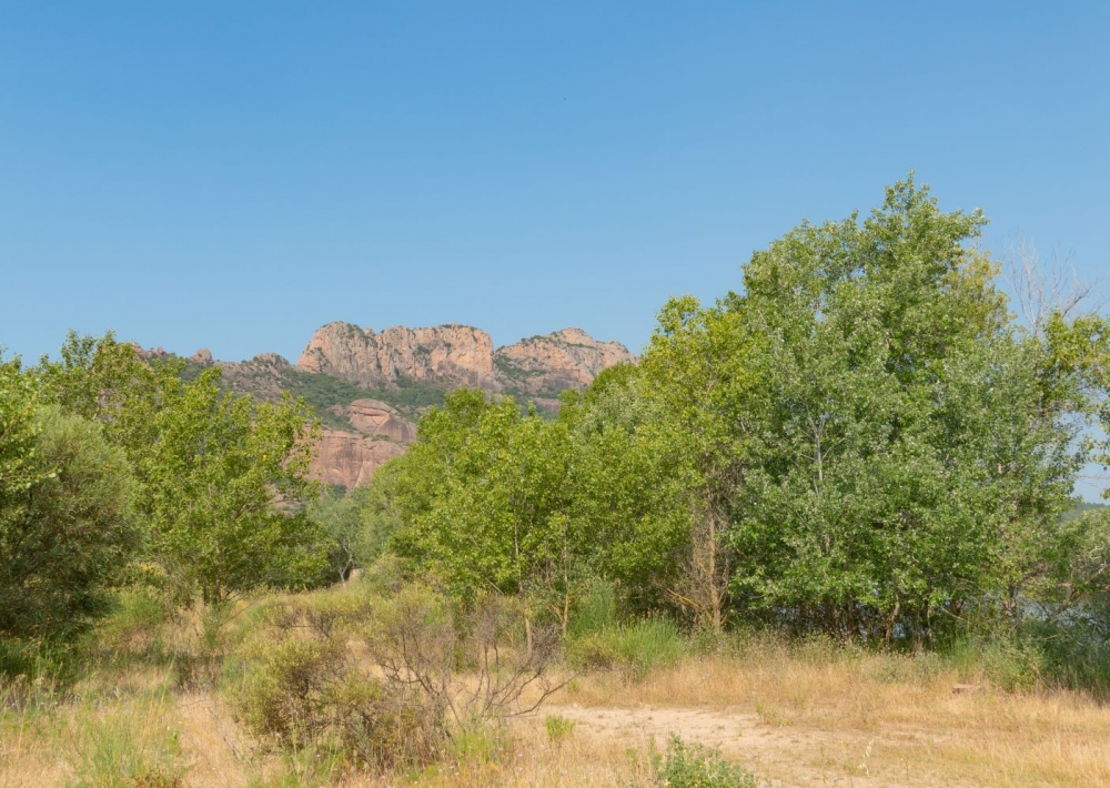
Continuer toujours tout droit en bifurquant légèrement à gauche sur la Piste de Palayson pour suivre les bords du lac.

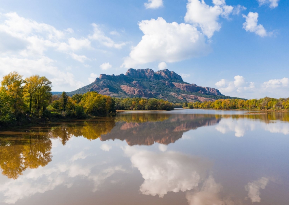
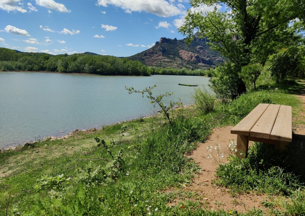
Plusieurs bancs se trouvent au début du parcours pour vous permettre d'admirer la vue et le lac.

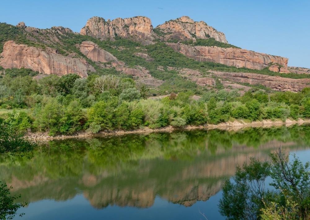
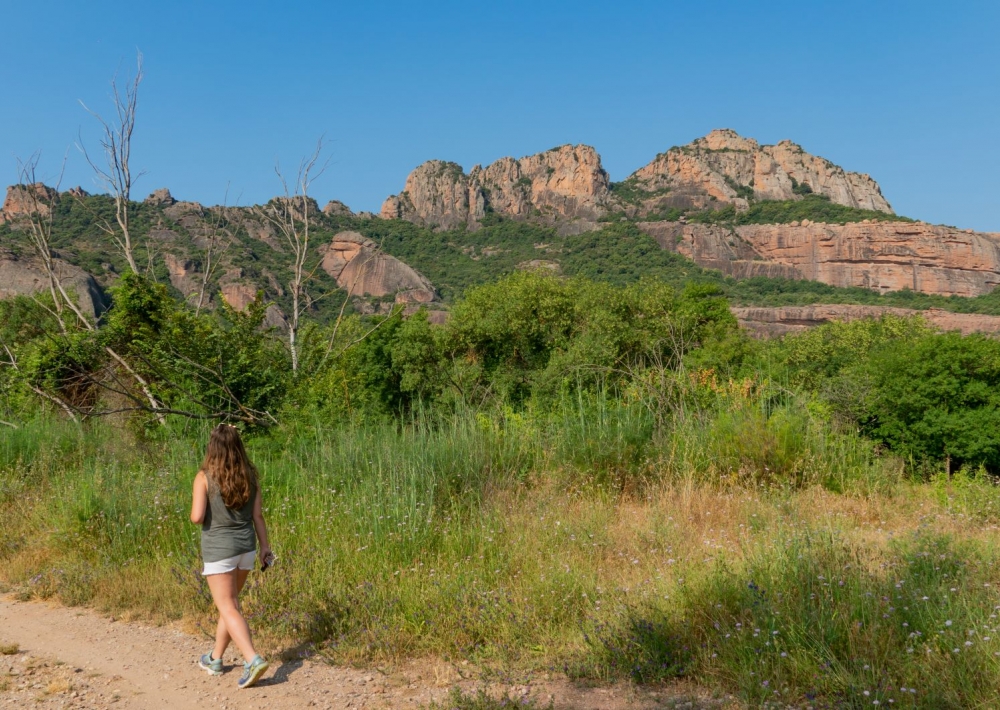
Poursuivre le sentier sur la piste Iscle du Content pour aller jusqu'au bout du lac et entamer la partie du parcours sur la rive opposée.

Une fois arrivé sur une zone plus large et boisée, explorer les alentours avant de reprendre le chemin de l'aller et de rejoindre le point de départ.

Further information

  • flag-FRFrench
  • Type of customers : 
    Level green – easy
  • On-site activities : 
    Pedestrian sports
    Hiking itinerary
  • Environments : 
    Lake view
Estérel Côte d'Azur depending on your mood
Weather
Sea side
Today
-- °C Wind : -- km/h
Tomorrow
-- °C Wind : -- km/h
After tomorrow
-- °C Wind : -- km/h
Hinterland
Today
-- °C Wind : -- km/h
Tomorrow
-- °C Wind : -- km/h
After tomorrow
-- °C Wind : -- km/h
Water temperature
Fréjus -- °C
Saint-Raphaël -- °C
Les Issambres -- °C
+
-

Clic on areas to zoom in

Clear map
Dark map
Map zone 1
Map zone 2
Map zone 3
Map zone 4
Map zone 5
Map zone 7
Map zone 6
Map zone 8
pays de fayence - nord

Fayence area

The Pays de Fayence (Fayence district) has many great provencal villages. All of them have a particularity such as the view from Mons or the artistic streets of Tourrettes. Do no forget to stop in Seillans that has the label of "Most beautiful village in France"

Go back to map
pays de fayence - sud

Fayence area

North of the A8 motorway, you will find the Pays de Fayence. Saint-Cassien lake, a real oasis of freshness in the Var, awaits you! Take a break at the Lake House before visiting the villages of Bagnols-en-Forêt, St-Paul-en-Forêt or Tanneron.

Go back to map
roquebrune sur argens - la bouverie

Roquebrune-sur-Argens

The city of Roquebrune-sur-Argens is the most westerly of the destination. It includes three districts: La Bouverie, at the foot of Gorges du Blavet; The village, overlooked by its magnificent rock, and Les Issambres, with its nautical activities by the sea.

Go back to map
les adrets de l'esterel

Les Adrets de l'Estérel

Les Adrets de l'Estérel is a small town located at the extreme southeastern Var. Bordering the Maritimes Alpes, it is composed of large green forests. The town overlooks the bay of Cannes and has an exceptional view on the Lérins Islands and the Corniche de l'Estérel.

Go back to map
village de puget sur argens

Puget sur Argens

Puget sur Argens is a small village located in the middle of many wineries. Its commercial area, near the village, includes many shopping center. North of the village, the Bois du Defens give rise to several walks.

Go back to map
roquebrune-sur-argens - les issambres

Les Issambres

Welcome to Les Issambres, the district of Roquebrune-sur-Argens located on the coast. True paradise with its 8 km of beaches and creeks, this family seaside resort, already frequented at the time by the Romans, is located between the Gulf of Saint-Tropez and Fréjus-Saint Raphaël.

Go back to map
ville de frejus - saint-aygulf

Fréjus

Frejus, located halfway between Cannes and Saint-Tropez, is at the heart of the Côte d'Azur. Based on a sandstone buttress of the Esterel massif, the town dominates the valleys of Argens and Reyran. Frejus has the appearance of a small Provencal town whose new districts extend to the sea.

Go back to map
saint-raphael - massif de l'esterel

Saint-Raphaël

65km from Nice Côte d'Azur International Airport, Saint-Raphaël is located between Cannes and Saint-Tropez. This seaside resort on the Mediterranean coast is at the bottom of the great Esterel mountains. Saint Raphael, whose city center is by the sea, is divided into different neighborhoods that have all their characteristics and their personalities.

Go back to map
Fayence areaFayence areaRoquebrune-sur-ArgensLes Adrets de l'EstérelPuget sur ArgensLes IssambresFréjusSaint-Raphaël
Webcams
Subscribe to our newsletter