Description
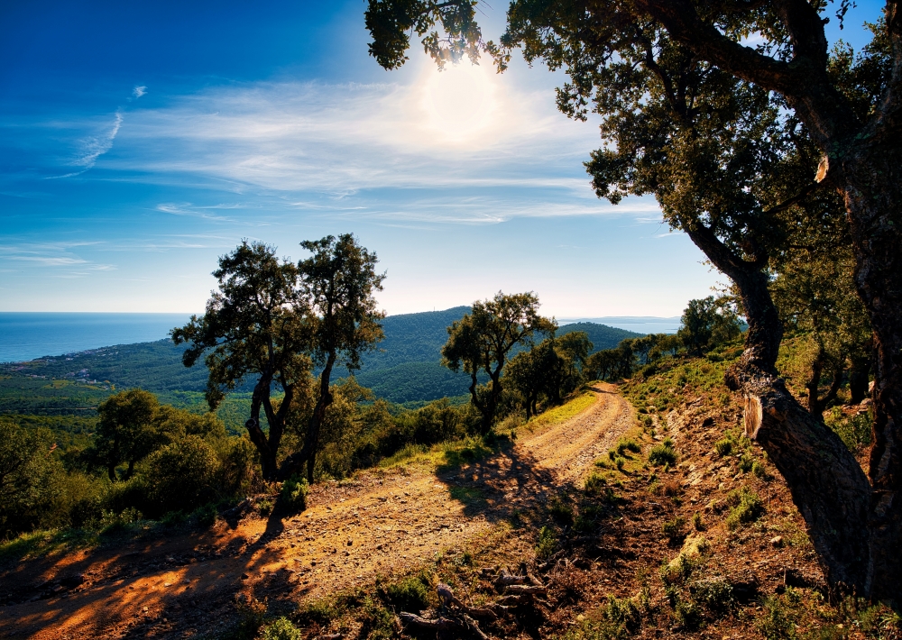
Le Vallon de la Gaillarde est un site naturel et préservé avec des sentiers balisés par le Conservatoire du littoral et par le réseau Natura 2000.
L'accès se fait par la D559 en direction des Issambres jusqu'à la plage de la Gaillarde. Prendre la rue Gattilier qui se situe au niveau de la résidence le Domaine de la Gaillarde en face de la plage.
LES SENTIERS DU VALLON DE LA GAILLARDE :
- Le sentier de l'Histoire
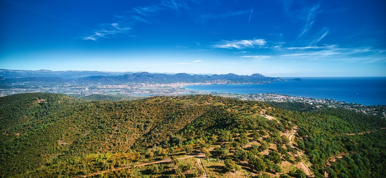
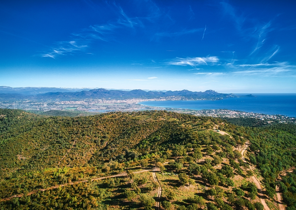
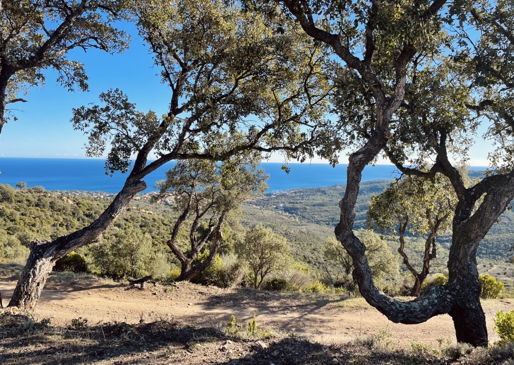
Une balade en famille dans un environnement authentique composé de collines surplombant la mer méditerranée.
- Le sentier de l'Agriotier
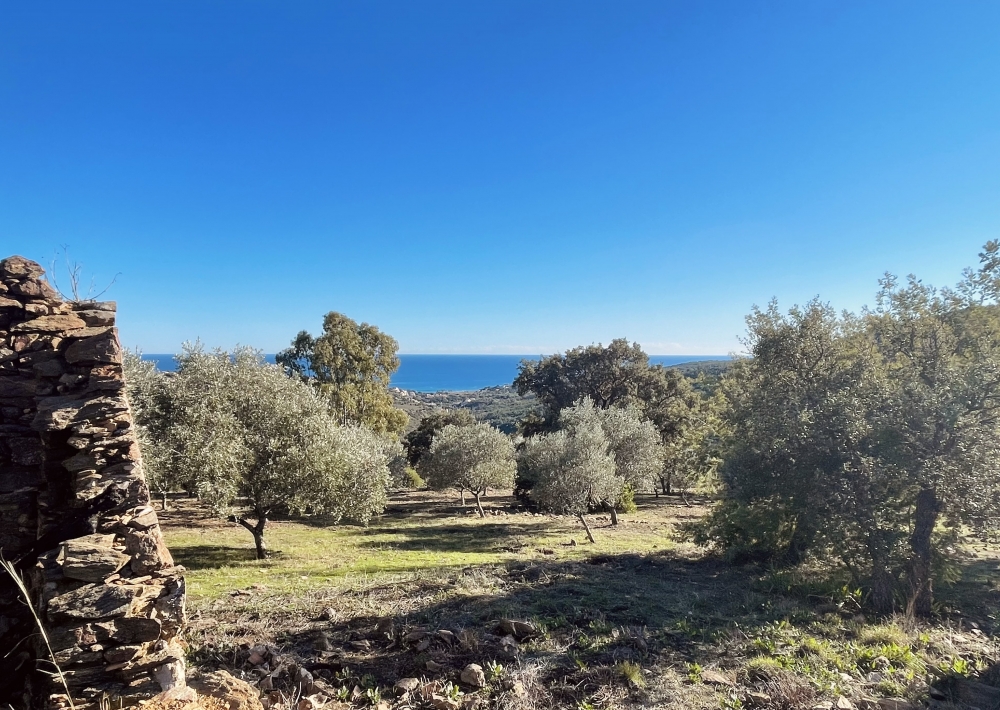
Découvrez des vestiges historiques tels que les Dolmens et la ruine des 4 vents. Une magnifique vue sur la baie des Issambres vous attend au sommet!
- Le sentier de l'Agriculture
Une agréable randonnée dans les petites Maures qui vous fera découvrir le maquis provençal.
POINT DE DÉPART :
Au niveau du cimetière communal des Issambres à la Gaillarde
Tips :
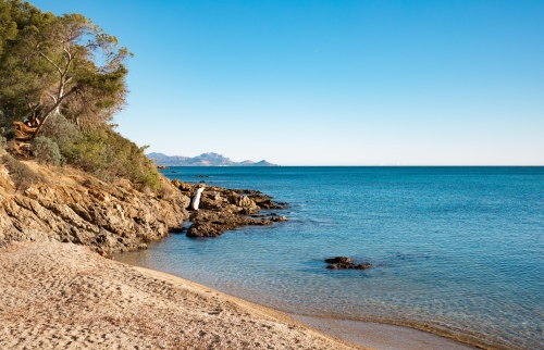
- Panoramic view of the Mediterranean Sea and the Esterel.
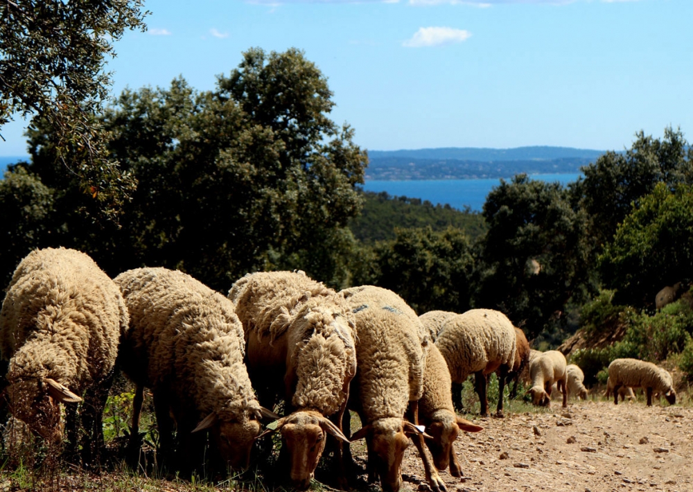
- During the transhumance period, you may see sheep from the Chieusse sheepfold.
- Explanatory panels are available to better understand the functioning of ancestral defenses and the constraints of the territory.


