Description
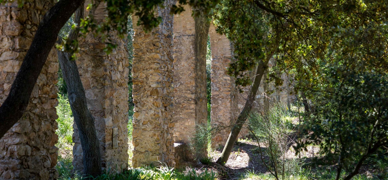
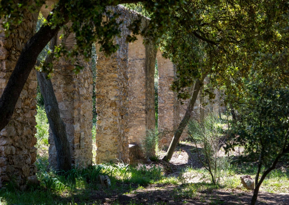
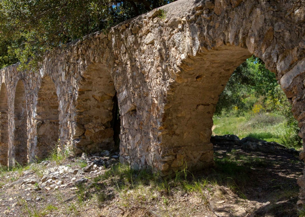
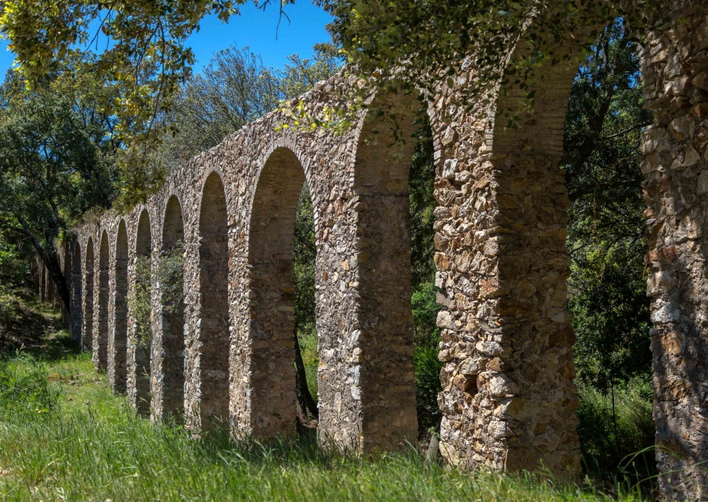
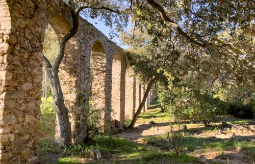
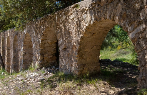
On the heights of the thousand-year-old village of Roquebrune-sur-Argens, four signposted walking trails wind their way through the unspoilt countryside of the Maures massif, a cultural and natural heritage of rare beauty. Following the route of the old water pipeline, between the Cavalières site and the old village fountain, hikers can explore history through the imposing aqueduct of 25 bridges, an eloquent testimony to the architectural power of the 18th century.
The paths wind through a Mediterranean forest, revealing other treasures of the past along the way. The ruins of the La Maurette mill, a relic of the 17th century, stand proudly, while the old hydraulic sawmill at Les Serres is a reminder of the ancestral skills of its craftsmen.
Every step of the way offers new panoramic views, particularly when you reach the Maurette ravine, in the heart of a forest of umbrella pines. Here, a majestic rock stands like a natural monument.
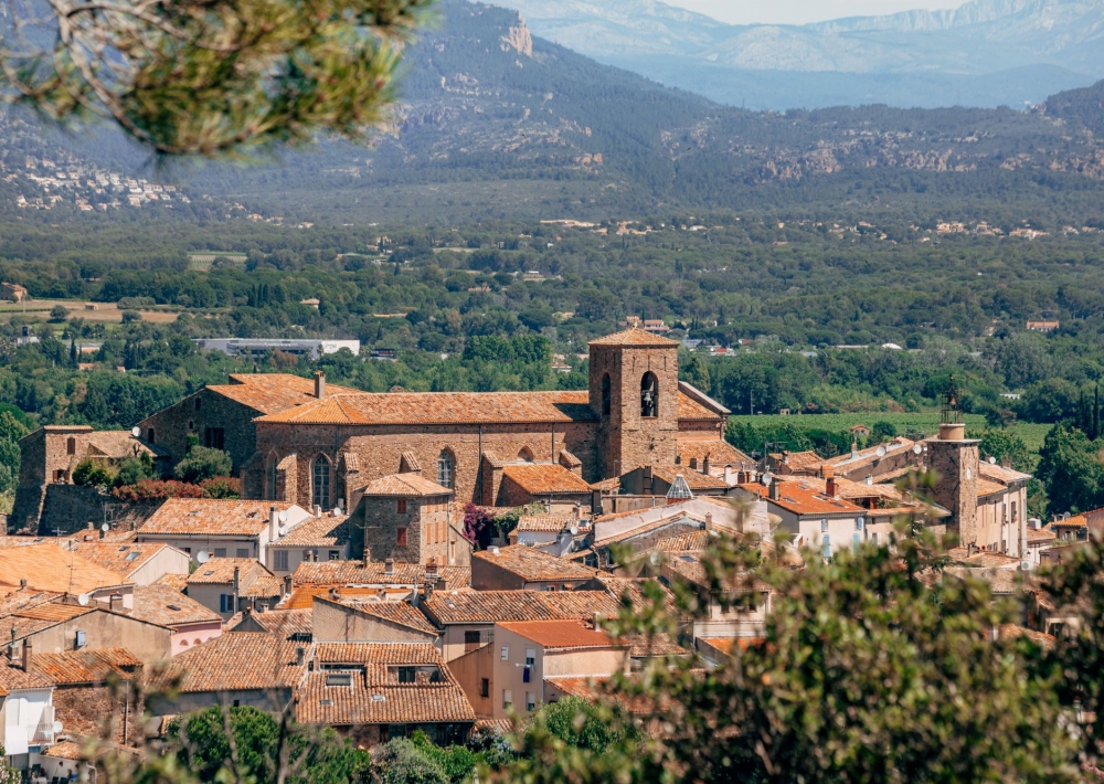
Along the way, breathtaking views of the medieval village and the Argens plain punctuate the walk.
The trails, which form 8.5 km and 14 km loops, promise total immersion in the unspoilt nature of the Maures massif.