les 3 croix rocher de Roquebrune
©OT Roquebrune

Le Rocher de Roquebrune-sur-Argens (Roquebrune rock)

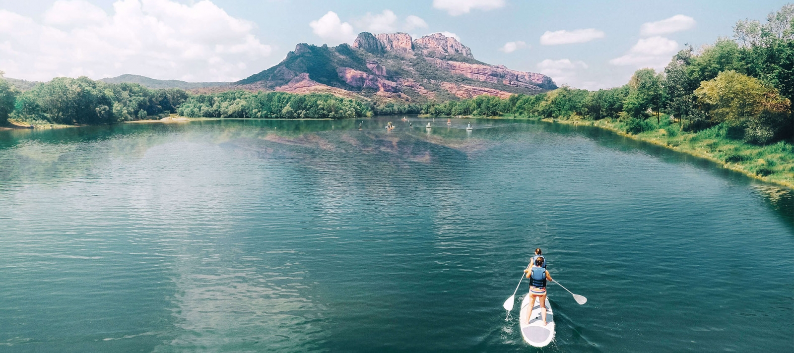
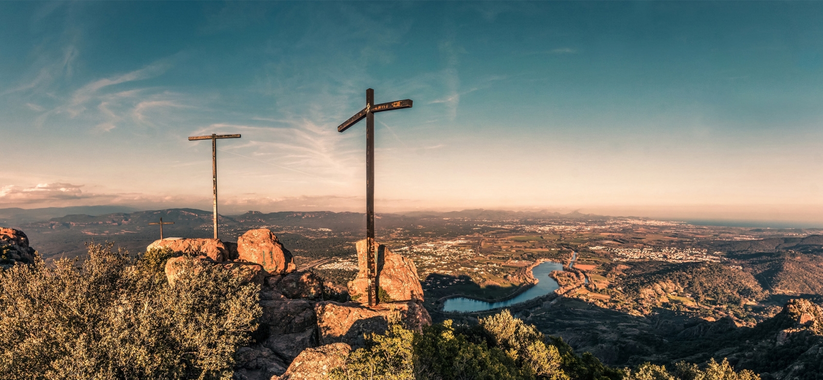
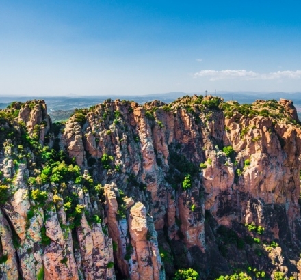
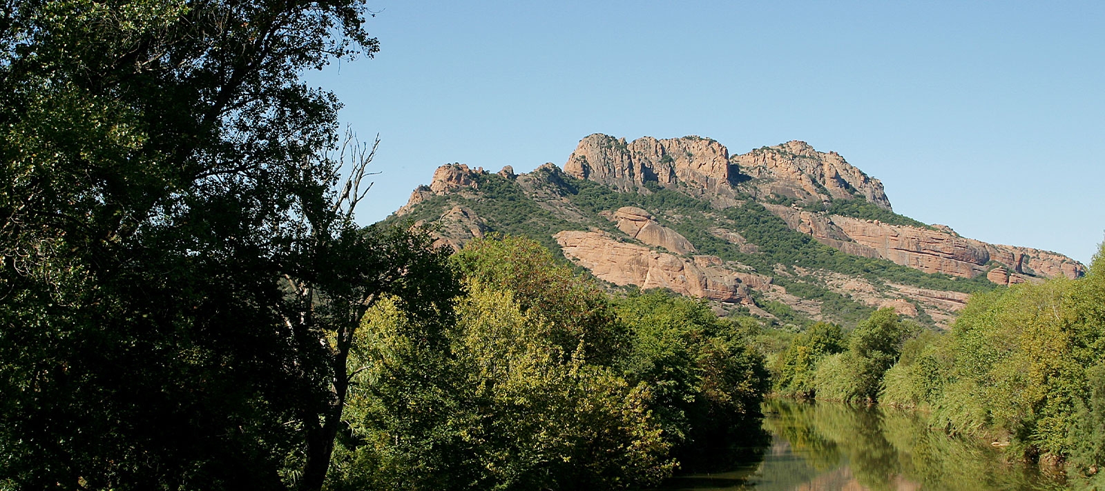
Le rocher de roquebrune (Roquebrune rock), a classified site of national interest, is located in the municipalities of Roquebrune-sur-Argens and Le Muy. It stands between the Maures and Esterel massifs and is bordered by the Argens river at its feet. Its highest point, at an altitude of 372m, offers a 360° view of the Argens valley, Fréjus, the Esterel and in the distance the Alps.

Histories and legends

Megalithic remains and Iron Age oppidas have been found on the sides of the rock. The Notre Dame de La Roquette chapel is located on the northern flank and dates from the Middle Ages. Now abandoned, part of it has collapsed. The buildings discovered on the rock highlight past human activity.

According to legend, when Christ died on the cross, the rock broke into three large faults, symbolizing the three crosses on Calvary. Later, crosses were erected at the top in memory, and pilgrimages have since been made there. Originally, the rock was called the "Rocher des Trois Croix". The crosses currently at the top were erected in 1991, the old ones having disappeared over time. This last realization is the work of the sculptor Bernard Venet. They pay tribute to three painters of the "Crucifixion": Giotto, Grunewald and Le Greco.

Another legend is that a young woman who had made vows of prayer and abstinence was being pursued by a nobleman she did not want. She begged the Holy Virgin to help her. Thus the rock broke into a rift, now called the "Saint Trou", through which the young woman could escape. Legend has it that only virtuous souls can cross it.
OT Roquebrune

Distinctive characteristic

The colour of the rock, made of reddish sandstone, contrasts with the green of the surrounding scrubland. The relief is composed of jagged ridges and steep cliffs. Erosion has carved and dug caves, enlarged the faults and shaped mushroom-shaped columns, like "Les deux Frères".

One of the caves was inhabited by an ermine named Frère Antoine for more than 50 years!

The tourist Office advice 

À faire absolument !Lieux recommandés
Seeing the Rock at sunriseThe 3 crosses for the 360° view!
Doing the (difficult) trekking of the Three CrossesEating at the Restaurant du Lac with a view of the Rock
Going along the Rock by Kayak or Canoe on the ArgensSleeping in a bubble in Roquebrune-sur-Argens

Instagram: Share your photos #Visitesterel !


Post your most beautiful photos with the hashtag #VisitEsterel and follow our account @esterelcotedazur to be reposted!

Estérel Côte d'Azur depending on your mood
Weather
Sea side
Today
-- °C Wind : -- km/h
Tomorrow
-- °C Wind : -- km/h
After tomorrow
-- °C Wind : -- km/h
Hinterland
Today
-- °C Wind : -- km/h
Tomorrow
-- °C Wind : -- km/h
After tomorrow
-- °C Wind : -- km/h
Water temperature
Fréjus -- °C
Saint-Raphaël -- °C
Les Issambres -- °C
+
-

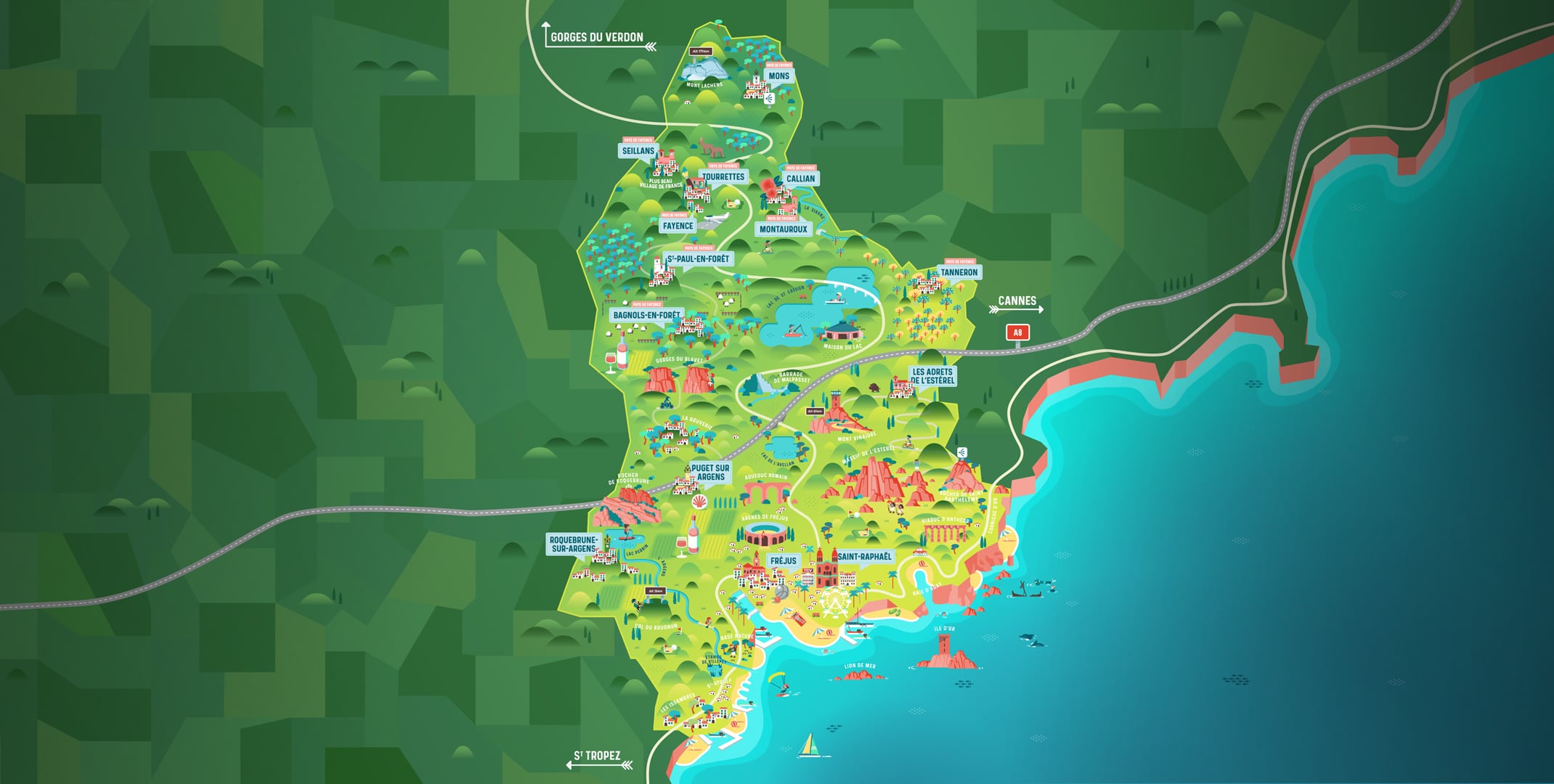
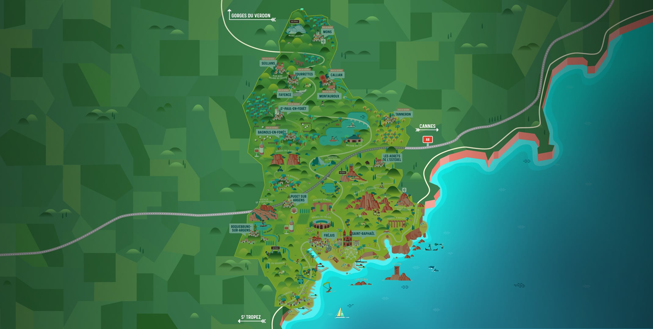
Clic on areas to zoom in

Clear map
Dark map
Map zone 1
Map zone 2
Map zone 3
Map zone 4
Map zone 5
Map zone 7
Map zone 6
Map zone 8
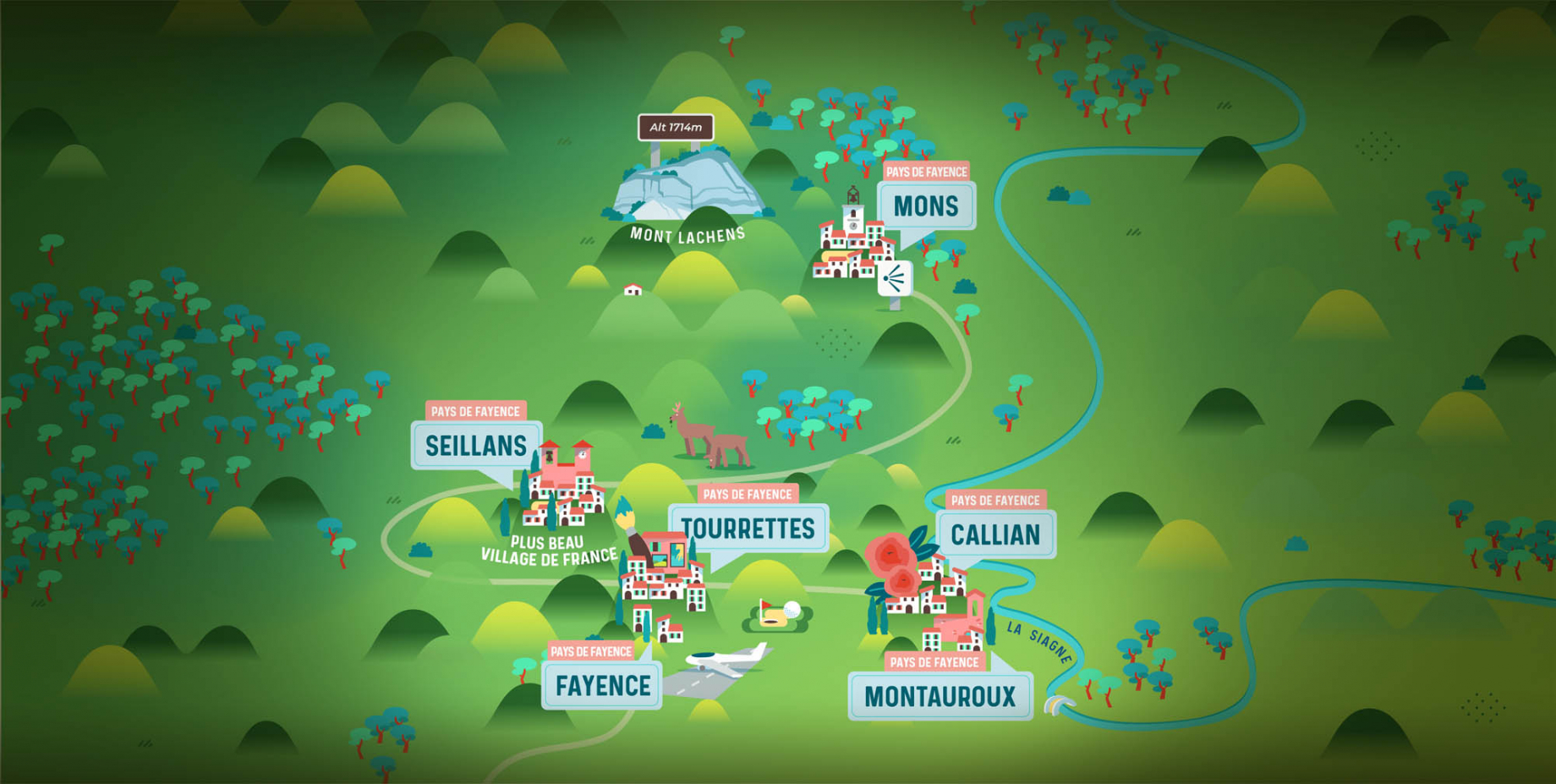
pays de fayence - nord

Fayence area

The Pays de Fayence (Fayence district) has many great provencal villages. All of them have a particularity such as the view from Mons or the artistic streets of Tourrettes. Do no forget to stop in Seillans that has the label of "Most beautiful village in France"

Go back to map
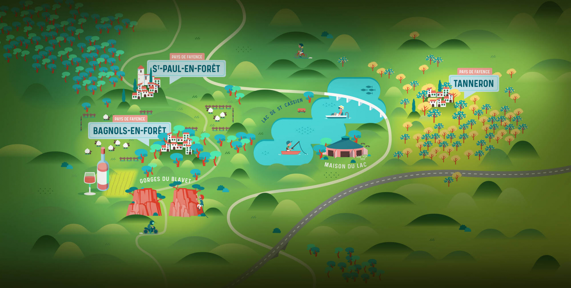
pays de fayence - sud

Fayence area

North of the A8 motorway, you will find the Pays de Fayence. Saint-Cassien lake, a real oasis of freshness in the Var, awaits you! Take a break at the Lake House before visiting the villages of Bagnols-en-Forêt, St-Paul-en-Forêt or Tanneron.

Go back to map
roquebrune sur argens - la bouverie

Roquebrune-sur-Argens

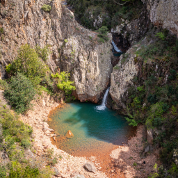
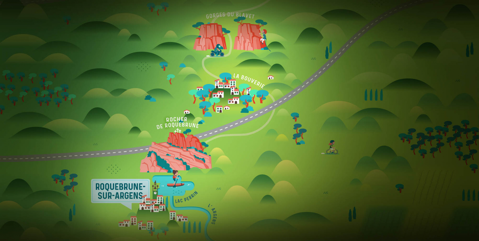
The city of Roquebrune-sur-Argens is the most westerly of the destination. It includes three districts: La Bouverie, at the foot of Gorges du Blavet; The village, overlooked by its magnificent rock, and Les Issambres, with its nautical activities by the sea.

Go back to map
les adrets de l'esterel

Les Adrets de l'Estérel

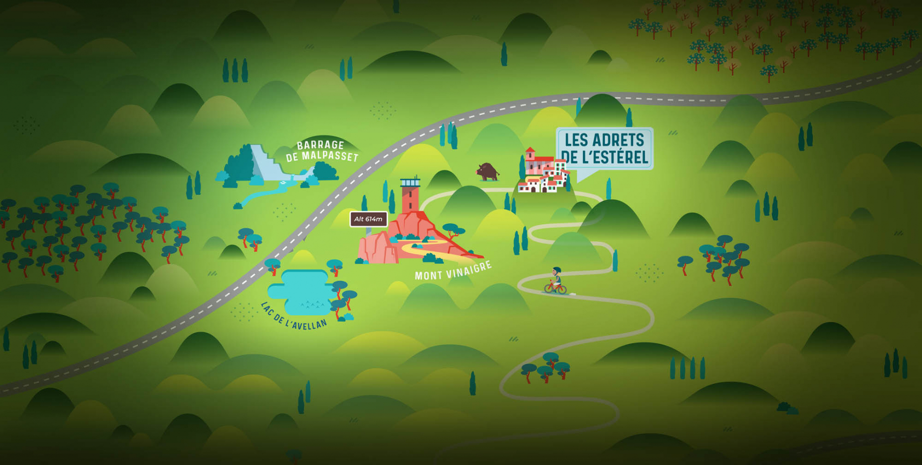
Les Adrets de l'Estérel is a small town located at the extreme southeastern Var. Bordering the Maritimes Alpes, it is composed of large green forests. The town overlooks the bay of Cannes and has an exceptional view on the Lérins Islands and the Corniche de l'Estérel.

Go back to map
village de puget sur argens

Puget sur Argens

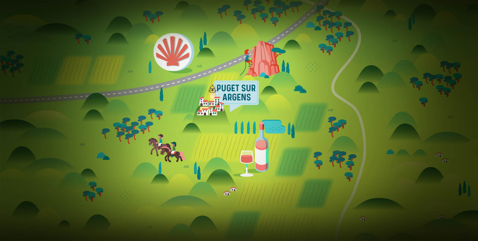
Puget sur Argens is a small village located in the middle of many wineries. Its commercial area, near the village, includes many shopping center. North of the village, the Bois du Defens give rise to several walks.

Go back to map
roquebrune-sur-argens - les issambres

Les Issambres

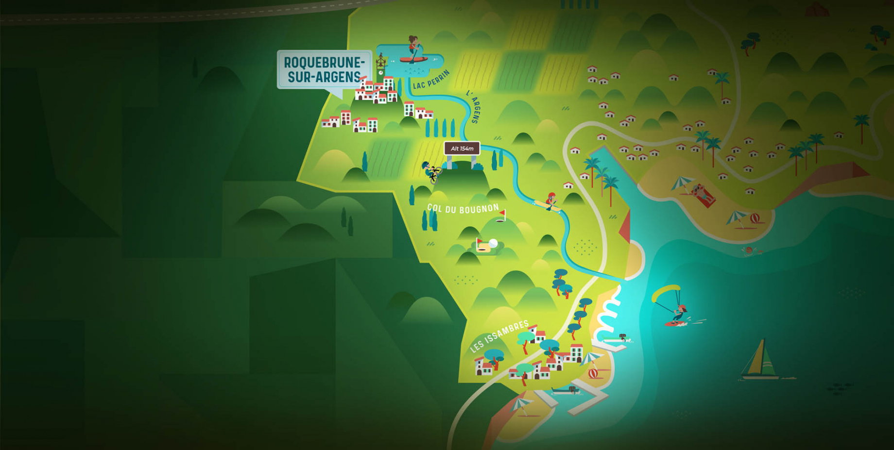
Welcome to Les Issambres, the district of Roquebrune-sur-Argens located on the coast. True paradise with its 8 km of beaches and creeks, this family seaside resort, already frequented at the time by the Romans, is located between the Gulf of Saint-Tropez and Fréjus-Saint Raphaël.

Go back to map
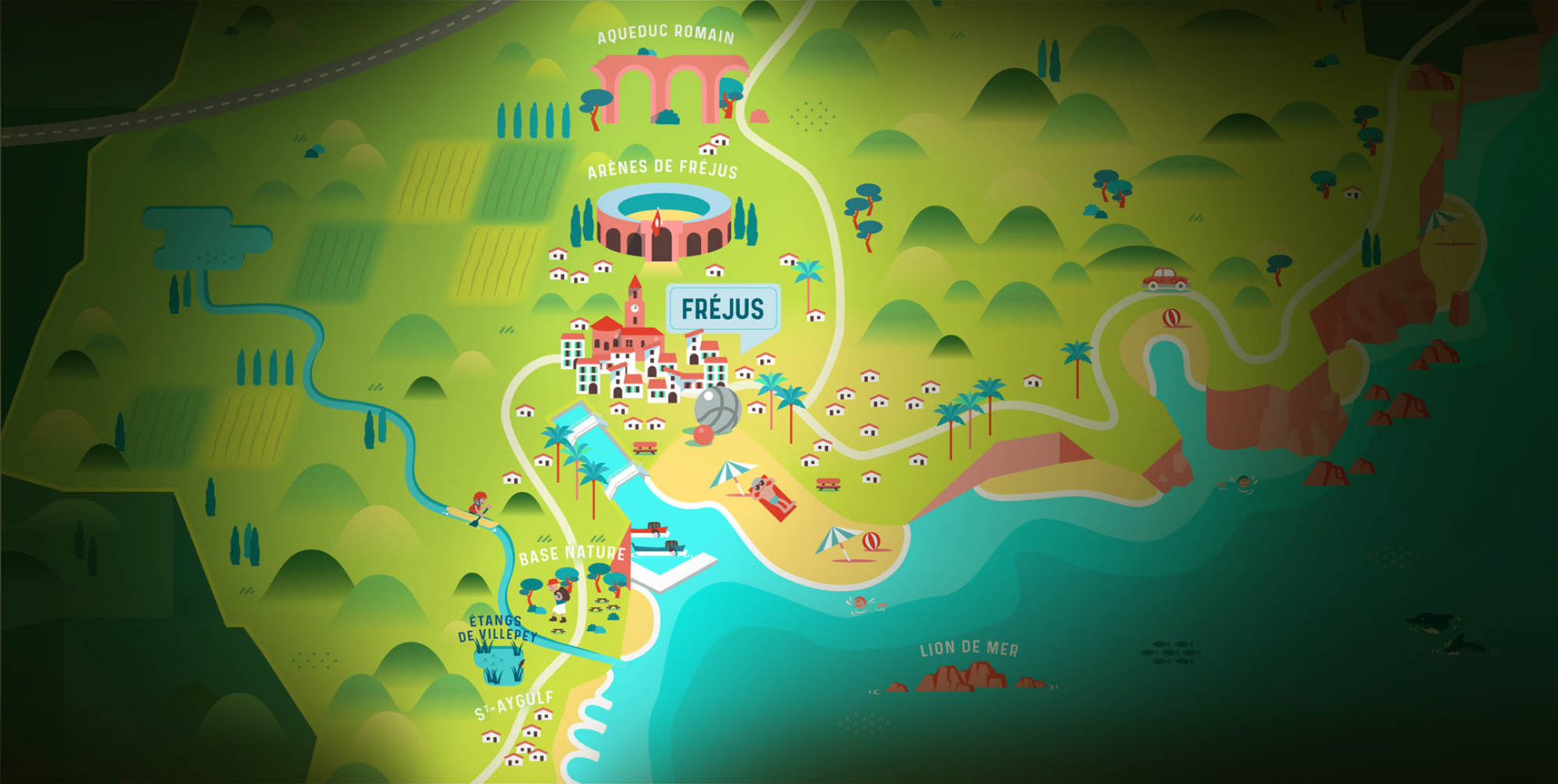
ville de frejus - saint-aygulf

Fréjus

Frejus, located halfway between Cannes and Saint-Tropez, is at the heart of the Côte d'Azur. Based on a sandstone buttress of the Esterel massif, the town dominates the valleys of Argens and Reyran. Frejus has the appearance of a small Provencal town whose new districts extend to the sea.

Go back to map
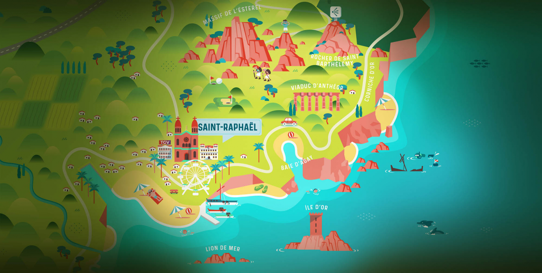
saint-raphael - massif de l'esterel

Saint-Raphaël

65km from Nice Côte d'Azur International Airport, Saint-Raphaël is located between Cannes and Saint-Tropez. This seaside resort on the Mediterranean coast is at the bottom of the great Esterel mountains. Saint Raphael, whose city center is by the sea, is divided into different neighborhoods that have all their characteristics and their personalities.

Go back to map
Fayence areaFayence areaRoquebrune-sur-ArgensLes Adrets de l'EstérelPuget sur ArgensLes IssambresFréjusSaint-Raphaël
Webcams
Subscribe to our newsletter