Vivier Gallo-Romain
Office de Tourisme
Historic site and monument - Classified, Gallo-roman

Vivier Gallo-Romain

Comprising a succession of 3 pools, the reservoir was used to capture and preserve fish.

Description

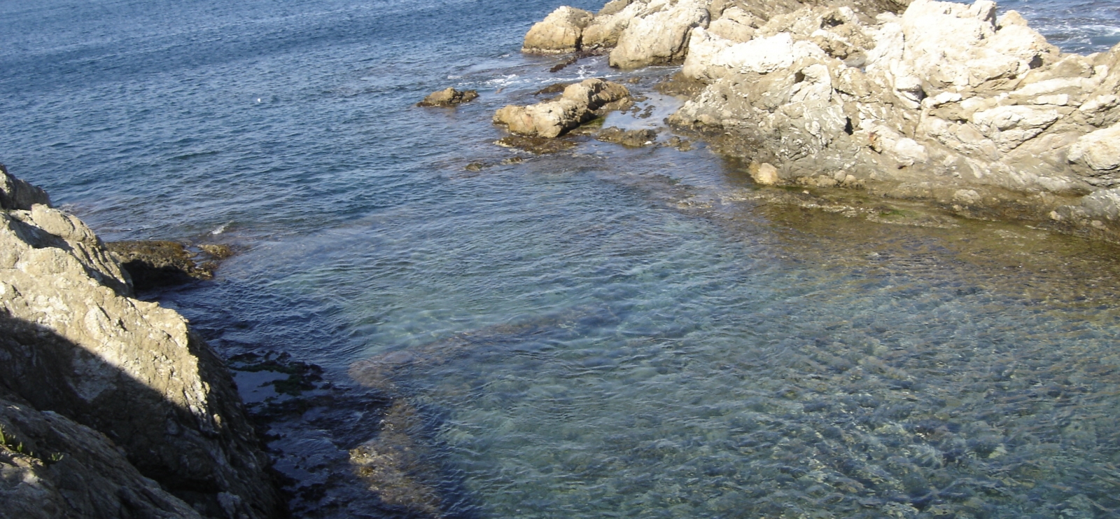
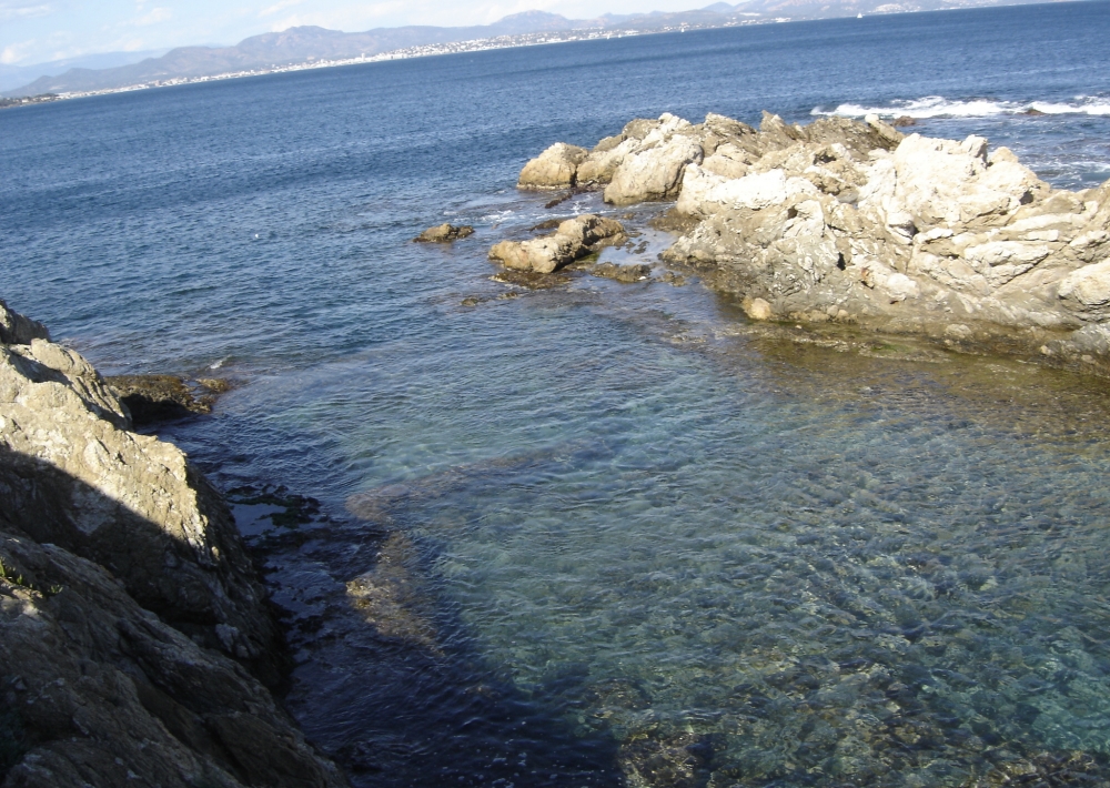
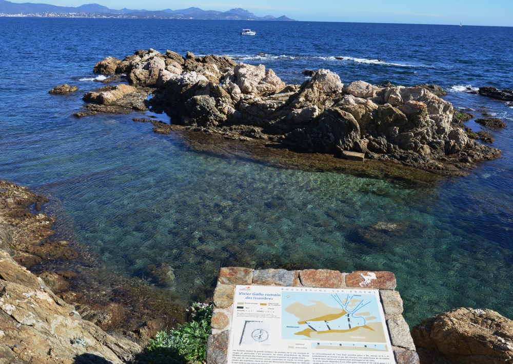
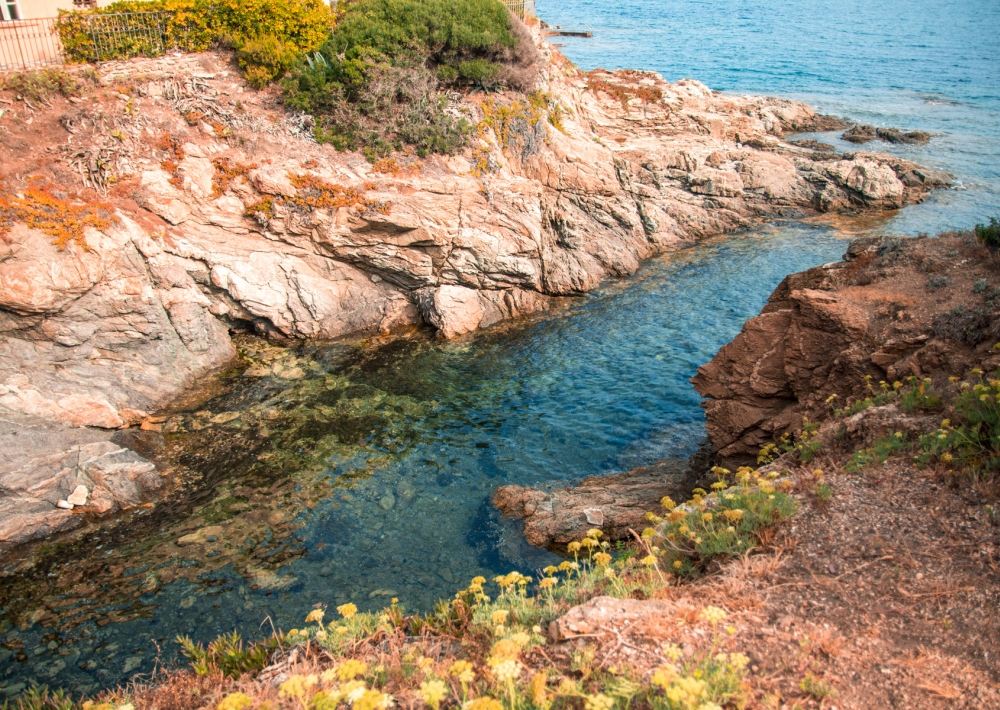
This Gallo-Roman reservoir at Pointe de la Calle, to the south of Port Ferréol, is a listed Historical Monument. It occupies a natural bay of 20 metres in length and varying in width between 5 and 12 metres. It runs along a north-south line between the shore and five rocks.

It was arranged to provide the different temperatures required by living fish in different seasons and at different times of day. It was used to trap and retain spawning fish (15th March/15th June).
This reservoir probably belonged to the Roman villa located 1 km northwards in the bay of La Gaillarde.

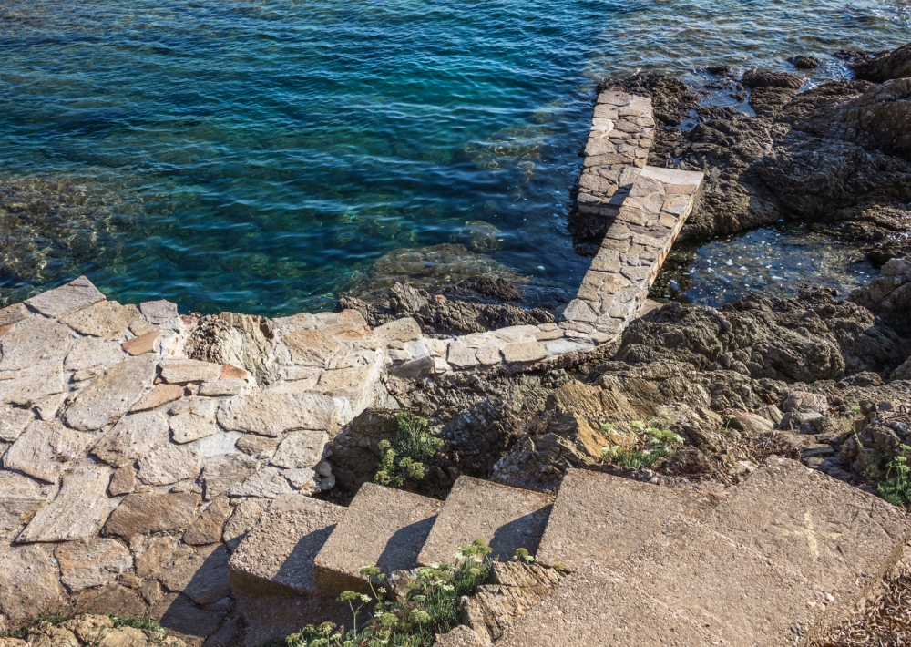
Low walls divided the reservoir into three pools of varying widths and depths.
The flow of sea water was probably controlled by sluice gates. Fishing techniques were based on the fish-trap reservoir principle.
Fresh fish was retained in an artisanal reservoir carved out of the rock and used to make garum (a kind of dried-fish sauce). In fact, a nearby property still has a garum storage tank. Bad smells must have emanated from the reservoir, which explains its distance from any of the Roman villas (the nearest is about 500 metres away in the Gaillarde valley).

Further information

  • flag-FRFrench
  • Languages of visits : 
    French
  • Individual visits include : 
    Unguided individual tours available permanently
    Guided individual tours on request
  • Groups visits include : 
    Unguided group tours available permanently
    Guided group tours on request
  • Environments : 
    Waterside
Estérel Côte d'Azur depending on your mood
Weather
Sea side
Today
-- °C Wind : -- km/h
Tomorrow
-- °C Wind : -- km/h
After tomorrow
-- °C Wind : -- km/h
Hinterland
Today
-- °C Wind : -- km/h
Tomorrow
-- °C Wind : -- km/h
After tomorrow
-- °C Wind : -- km/h
Water temperature
Fréjus -- °C
Saint-Raphaël -- °C
Les Issambres -- °C
+
-

Clic on areas to zoom in

Clear map
Dark map
Map zone 1
Map zone 2
Map zone 3
Map zone 4
Map zone 5
Map zone 7
Map zone 6
Map zone 8
pays de fayence - nord

Fayence area

The Pays de Fayence (Fayence district) has many great provencal villages. All of them have a particularity such as the view from Mons or the artistic streets of Tourrettes. Do no forget to stop in Seillans that has the label of "Most beautiful village in France"

Go back to map
pays de fayence - sud

Fayence area

North of the A8 motorway, you will find the Pays de Fayence. Saint-Cassien lake, a real oasis of freshness in the Var, awaits you! Take a break at the Lake House before visiting the villages of Bagnols-en-Forêt, St-Paul-en-Forêt or Tanneron.

Go back to map
roquebrune sur argens - la bouverie

Roquebrune-sur-Argens

The city of Roquebrune-sur-Argens is the most westerly of the destination. It includes three districts: La Bouverie, at the foot of Gorges du Blavet; The village, overlooked by its magnificent rock, and Les Issambres, with its nautical activities by the sea.

Go back to map
les adrets de l'esterel

Les Adrets de l'Estérel

Les Adrets de l'Estérel is a small town located at the extreme southeastern Var. Bordering the Maritimes Alpes, it is composed of large green forests. The town overlooks the bay of Cannes and has an exceptional view on the Lérins Islands and the Corniche de l'Estérel.

Go back to map
village de puget sur argens

Puget sur Argens

Puget sur Argens is a small village located in the middle of many wineries. Its commercial area, near the village, includes many shopping center. North of the village, the Bois du Defens give rise to several walks.

Go back to map
roquebrune-sur-argens - les issambres

Les Issambres

Welcome to Les Issambres, the district of Roquebrune-sur-Argens located on the coast. True paradise with its 8 km of beaches and creeks, this family seaside resort, already frequented at the time by the Romans, is located between the Gulf of Saint-Tropez and Fréjus-Saint Raphaël.

Go back to map
ville de frejus - saint-aygulf

Fréjus

Frejus, located halfway between Cannes and Saint-Tropez, is at the heart of the Côte d'Azur. Based on a sandstone buttress of the Esterel massif, the town dominates the valleys of Argens and Reyran. Frejus has the appearance of a small Provencal town whose new districts extend to the sea.

Go back to map
saint-raphael - massif de l'esterel

Saint-Raphaël

65km from Nice Côte d'Azur International Airport, Saint-Raphaël is located between Cannes and Saint-Tropez. This seaside resort on the Mediterranean coast is at the bottom of the great Esterel mountains. Saint Raphael, whose city center is by the sea, is divided into different neighborhoods that have all their characteristics and their personalities.

Go back to map
Fayence areaFayence areaRoquebrune-sur-ArgensLes Adrets de l'EstérelPuget sur ArgensLes IssambresFréjusSaint-Raphaël
Webcams
Subscribe to our newsletter