Description
> ACCÈS
Le départ peut se faire à deux endroits :
A l'extrémité Ouest du parcours, au Port de Santa Lucia (près du chantier naval)
OU
A l'extrémité Est à la Plage de Camp Long (au Dramont)
Les deux sites disposent d'aires de stationnement.
>POINT DE DÉPART
Coordonnées GPS : 43.409645, 6.783059
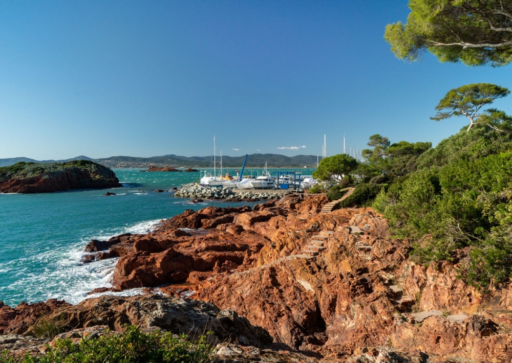
Port de Santa Lucia
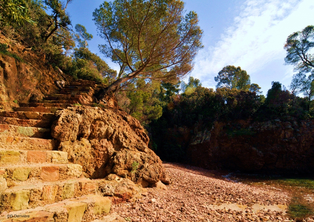
> ITINÉRAIRE
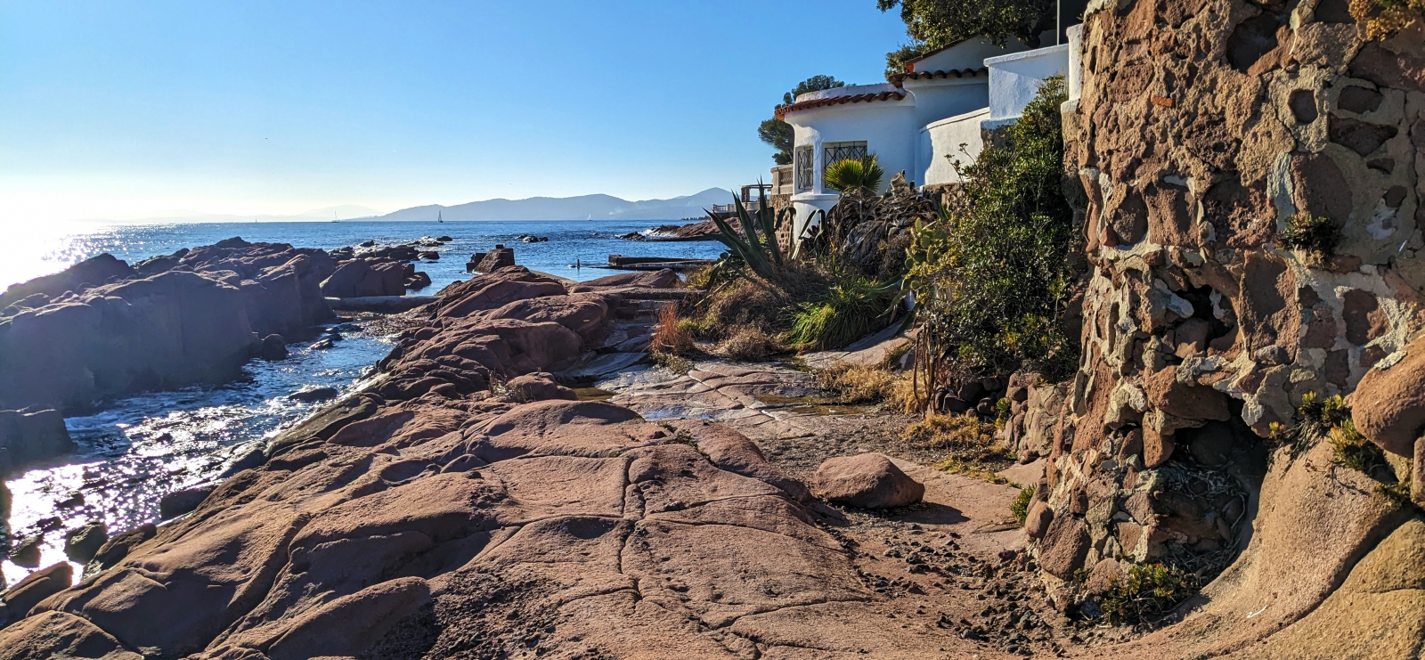
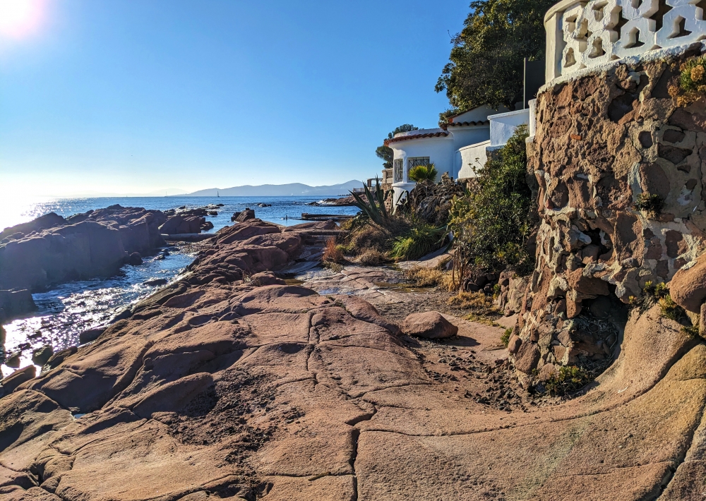
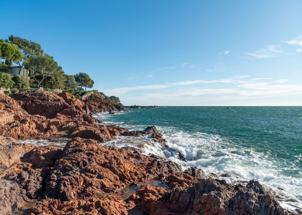
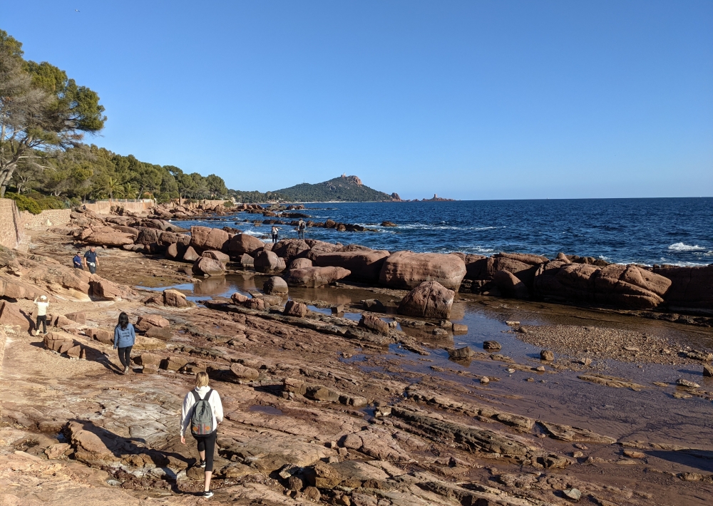
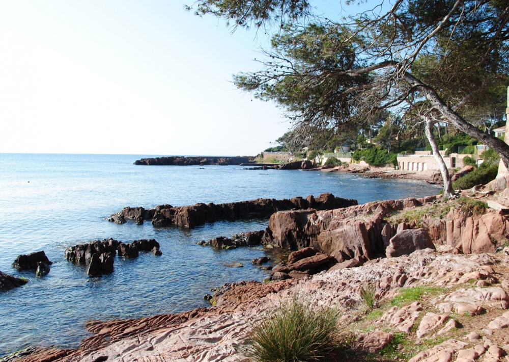
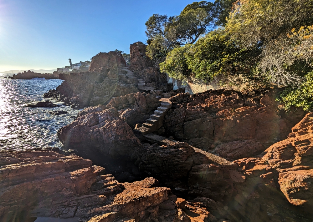
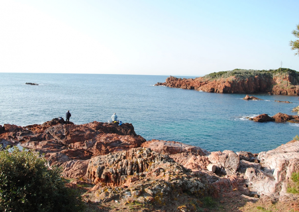
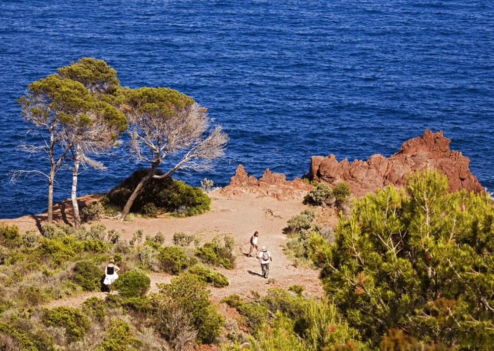
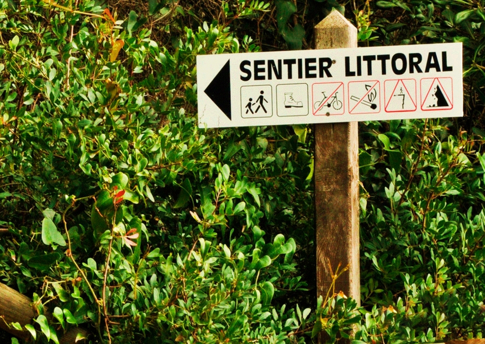
Emprunter le sentier (balisage jaune). Le sentier serpente entre la mer et le massif de l’Estérel. Au bout d’environ 7 km, après la Plage de Pierre Blave, rejoindre le bord de la route pour atteindre la Plage du Débarquement, pour rejoindre le sentier. Finir la balade à la plage de Camp Long.
Pour le retour, revenir sur la route pour emprunter les transports en commun.
Il est possible de profiter du sentier sans forcément faire la totalité. Vous pouvez faire des portions (en aller simple ou en aller retour) comme Santa Lucia à La Péguière // de La Péguière au Port de Boulouris // Du Port de Boulouris à la plage d'Aigue-Bonne.
Attention, les transports ne sont pas fréquents, se renseigner à l'avance sur les horaires !
• en train TER (gare de St Raphaël, de Boulouris, du Dramont ou d’Agay)
• En bus :
• ligne 21 (arrêts tous les 500m RN98 entre St Raphaël centre et Agay)
• ligne 8 (arrêts tous les 500m RN98 entre Boulouris et Agay)
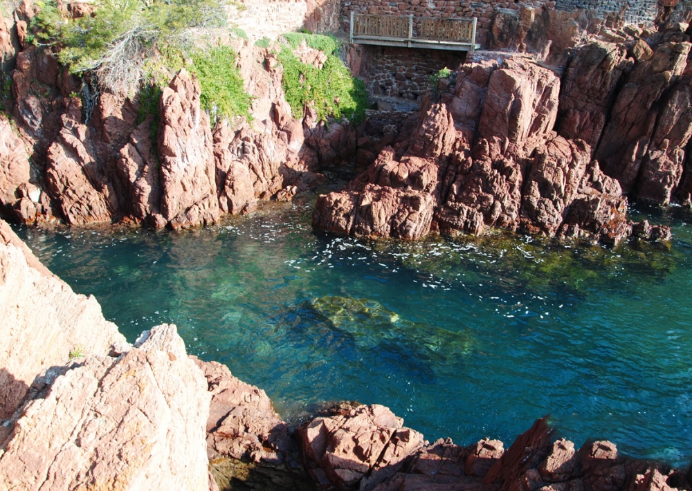
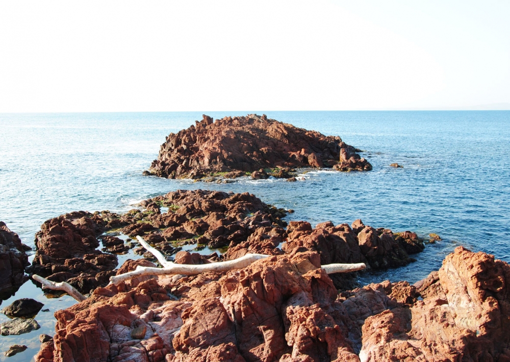
> Attention ! Sentiers rocailleux exigeant un bon équipement et une attention soutenue surtout sur les rochers côtiers (parfois glissants)


