Fleuve
© Base du rocher
Sporting activities

Canoë de Roquebrune à la mer

The canoe trip to the sea is an adventure in the heart of the wilderness.
14 kilometers of navigation on the Argens River, from Roquebrune-sur-Argens to Fréjus.

Description

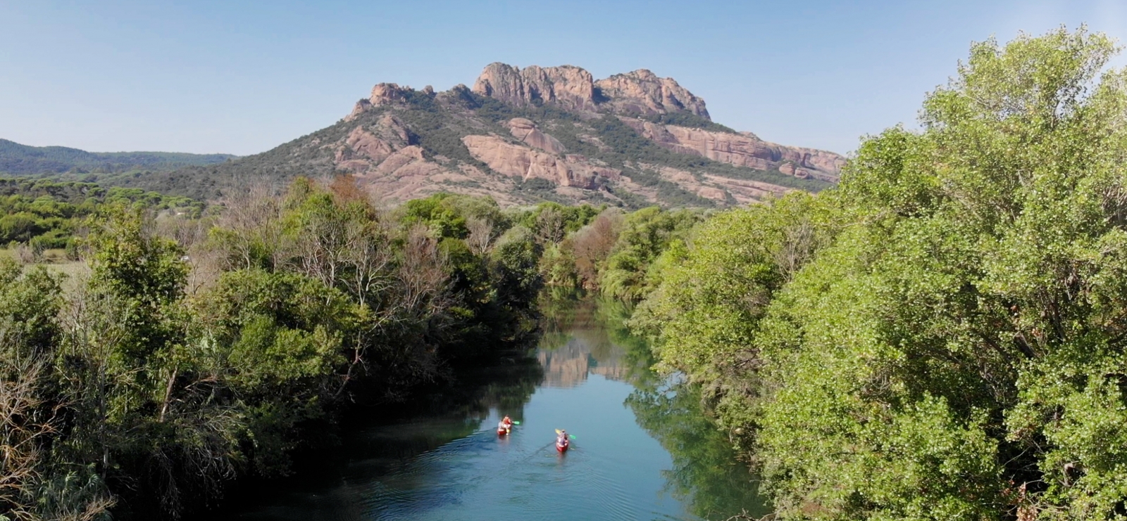
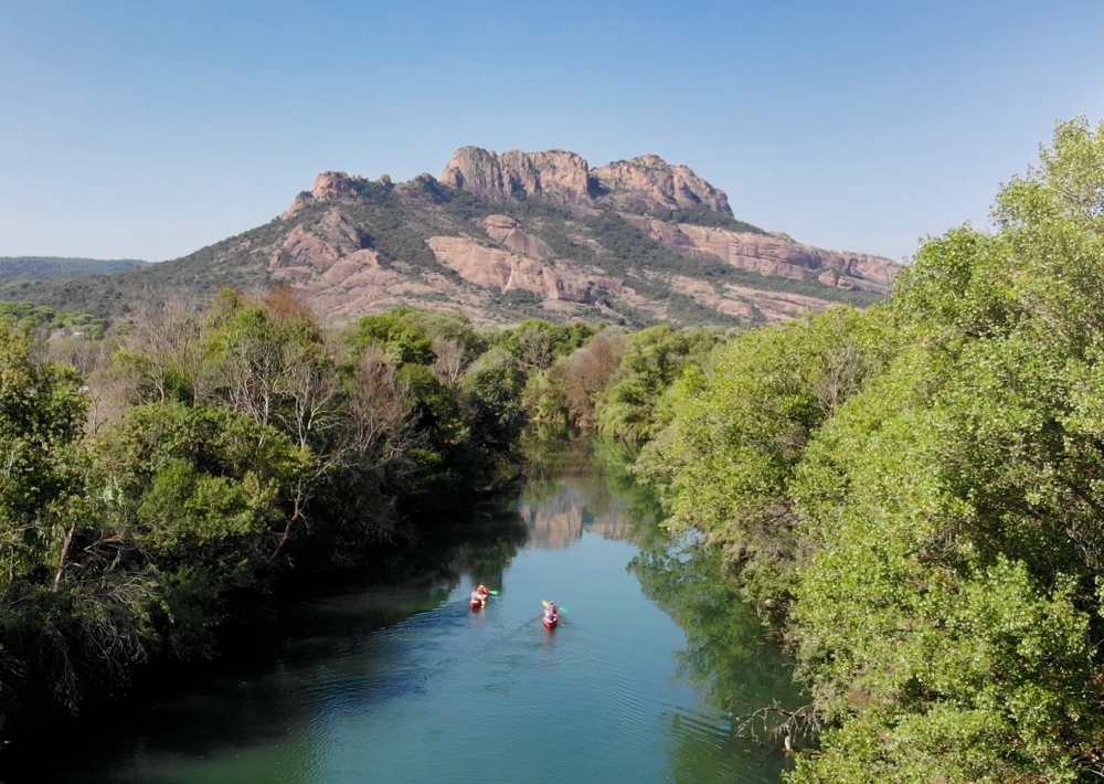
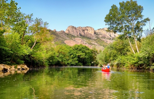
14 kilomètres de navigation sur le fleuve l'Argens.
La balade en canoë, jusqu'à la mer, est la promesse d'une aventure unique au cœur de la vie sauvage.

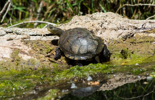
Quelques kilomètres après les premiers coups de pagaie, le barrage du Beal invite à faire une pause détente et baignade. Les tortues cistudes, les guêpiers ou encore le martin-pêcheur, sont observables le long de l'Argens avant l'arrivée au barrage.
La balade se poursuit dans les nombreux méandres calmes et verdoyants , jusqu'à mi-chemin au barrage du Verteil. Les derniers kilomètres, le fleuve s'élargit. L'arrivée triomphale à la mer est marquée par un site d'exception : l'embouchure de l'Argens. La récompense de la balade : une baignade relaxante en mer ou en rivière avec parfois la compagnie des cygnes.

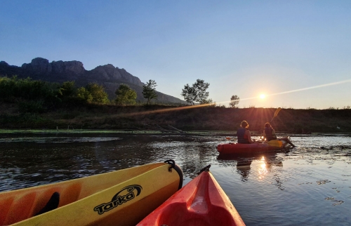
Détail du parcours :
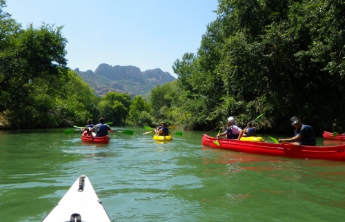
- départ le matin pour un parcours d’une durée d’environ 3 ou 4h de canoë plus environ 2 heures de pauses (pique-nique et baignades).
- parcours sans rapides qui nécessite une bonne endurance.
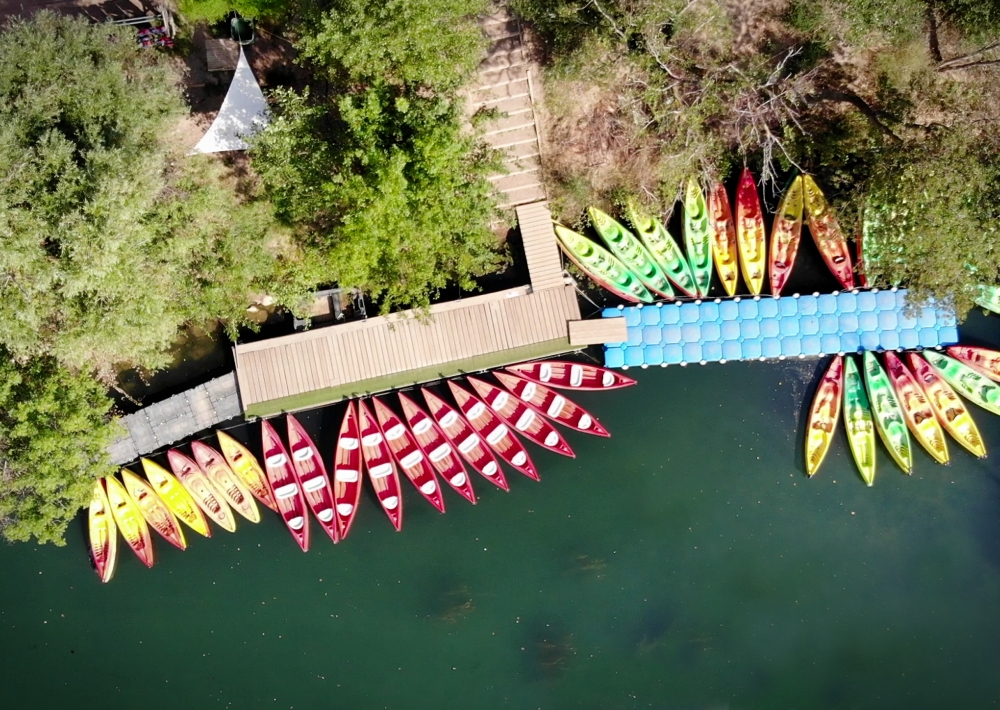
- retour à la Base du Rocher en minibus

Further information

  • Accepted animals
  • flag-ENEnglish
  • flag-FRFrench
  • Type of customers : 
    Children
    Groups
  • Capacity : 
    Group : 100 max people
  • Services : 
    Pets welcome
  • Equipments : 
    Canoe-Kayak base/Aviron
    Car park
    Sustainable development
    Outhouse
    Free car park
  • Minimum age : 
    8 years
  • Minimum : 
    10 people
  • Duration of the session : 
    360 min
  • Environments : 
    Riverside
    Waterside
Estérel Côte d'Azur depending on your mood
Weather
Sea side
Today
-- °C Wind : -- km/h
Tomorrow
-- °C Wind : -- km/h
After tomorrow
-- °C Wind : -- km/h
Hinterland
Today
-- °C Wind : -- km/h
Tomorrow
-- °C Wind : -- km/h
After tomorrow
-- °C Wind : -- km/h
Water temperature
Fréjus -- °C
Saint-Raphaël -- °C
Les Issambres -- °C
+
-

Clic on areas to zoom in

Clear map
Dark map
Map zone 1
Map zone 2
Map zone 3
Map zone 4
Map zone 5
Map zone 7
Map zone 6
Map zone 8
pays de fayence - nord

Fayence area

The Pays de Fayence (Fayence district) has many great provencal villages. All of them have a particularity such as the view from Mons or the artistic streets of Tourrettes. Do no forget to stop in Seillans that has the label of "Most beautiful village in France"

Go back to map
pays de fayence - sud

Fayence area

North of the A8 motorway, you will find the Pays de Fayence. Saint-Cassien lake, a real oasis of freshness in the Var, awaits you! Take a break at the Lake House before visiting the villages of Bagnols-en-Forêt, St-Paul-en-Forêt or Tanneron.

Go back to map
roquebrune sur argens - la bouverie

Roquebrune-sur-Argens

The city of Roquebrune-sur-Argens is the most westerly of the destination. It includes three districts: La Bouverie, at the foot of Gorges du Blavet; The village, overlooked by its magnificent rock, and Les Issambres, with its nautical activities by the sea.

Go back to map
les adrets de l'esterel

Les Adrets de l'Estérel

Les Adrets de l'Estérel is a small town located at the extreme southeastern Var. Bordering the Maritimes Alpes, it is composed of large green forests. The town overlooks the bay of Cannes and has an exceptional view on the Lérins Islands and the Corniche de l'Estérel.

Go back to map
village de puget sur argens

Puget sur Argens

Puget sur Argens is a small village located in the middle of many wineries. Its commercial area, near the village, includes many shopping center. North of the village, the Bois du Defens give rise to several walks.

Go back to map
roquebrune-sur-argens - les issambres

Les Issambres

Welcome to Les Issambres, the district of Roquebrune-sur-Argens located on the coast. True paradise with its 8 km of beaches and creeks, this family seaside resort, already frequented at the time by the Romans, is located between the Gulf of Saint-Tropez and Fréjus-Saint Raphaël.

Go back to map
ville de frejus - saint-aygulf

Fréjus

Frejus, located halfway between Cannes and Saint-Tropez, is at the heart of the Côte d'Azur. Based on a sandstone buttress of the Esterel massif, the town dominates the valleys of Argens and Reyran. Frejus has the appearance of a small Provencal town whose new districts extend to the sea.

Go back to map
saint-raphael - massif de l'esterel

Saint-Raphaël

65km from Nice Côte d'Azur International Airport, Saint-Raphaël is located between Cannes and Saint-Tropez. This seaside resort on the Mediterranean coast is at the bottom of the great Esterel mountains. Saint Raphael, whose city center is by the sea, is divided into different neighborhoods that have all their characteristics and their personalities.

Go back to map
Fayence areaFayence areaRoquebrune-sur-ArgensLes Adrets de l'EstérelPuget sur ArgensLes IssambresFréjusSaint-Raphaël
Webcams
Subscribe to our newsletter