Description
> ACCÈS
Depuis Puget sur Argens, prendre le Boulevard Général Leclerc jusqu'au Domaine de la Lieutenante
Parking aménagé en face de l'entrée du Domaine de La Lieutenante.
> POINT DE DÉPART
Coordonnées GPS : 43.496599, 6.696332
Aire Guy Manganelli
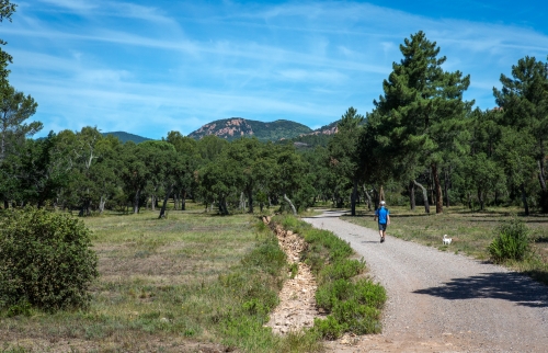
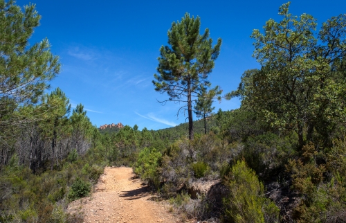
> ITINÉRAIRE
Débuter en empruntant la piste des Lauriers.
À la deuxième intersection prendre à gauche, continuer sur environ 1km puis tourner à gauche et tout de suite après à droite sur la piste La Griotte.
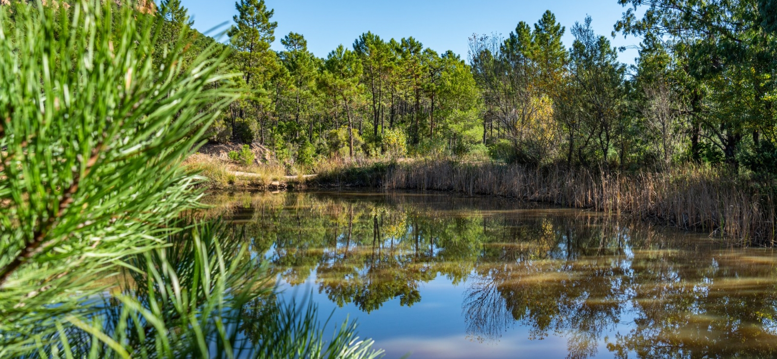
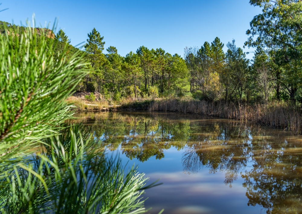
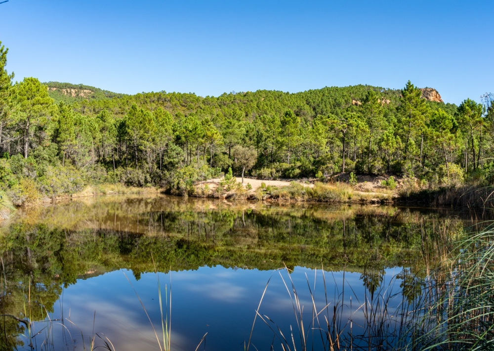
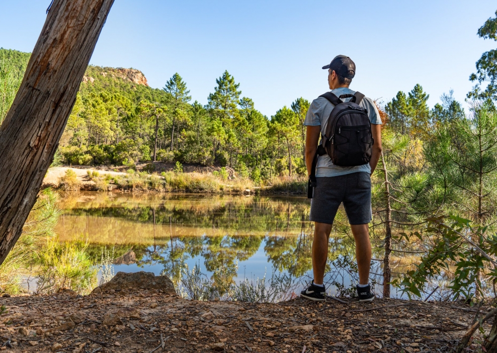
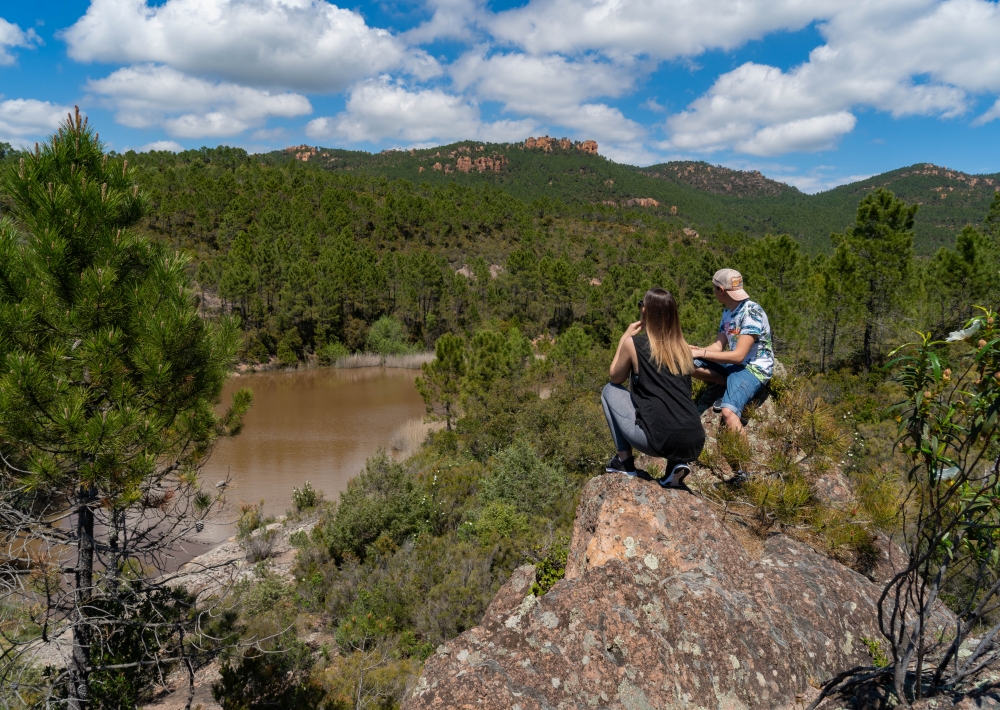
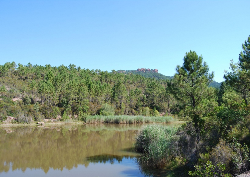
Continuer sur environ 500 mètres et prendre à droite. Longer alors le 1er petit lac.
À la prochaine intersection prendre à gauche puis 400m plus loin prendre à droite sur un petit sentier.
Rejoindre ensuite la piste de la Beaumeruine pour longer les 2ème et 3ème petits lacs.
Enfin, de retour sur la piste des Lauriers, emprunter, pour le retour, le même
chemin qu’à l’aller.
Ce chemin ne présente pas de difficulté particulière.