randonnée Estérel
Photo ©Bestjobbers Elisa&Max
Your Experiences

Experience the Varese Week of Walking in September

A week dedicated to discovering the Var and its hiking trails through walks accompanied by explanations from enthusiasts and nature lovers.

A beautiful moment of sharing and discovery of the Var

It is accompanied by volunteers of lovers and nature lovers that you can discover, from 26 September to 04 October 2020, a wide range of hiking trails in the Var. The French Federation of Hiking in the Var and its affiliated associations of hikers, the Tourist Offices and Var Tourism offer you a hundred walks in the most beautiful landscapes of the territory. Take a good look at the heritage, nature and encounters !

ATTENTION: This event takes place every year, only in September.
carte randonnée

The hikes

The hikes are accessible to all and classified according to their level of difficulty :

  • Easy hiking : 5km maximum hiking, altitude difference less than 200 m, 1 to 3 hours on accessible trails.
  • Average hike : 10 to 15 km of hiking, altitude difference between 200 and 400 m, 3 to 5 hours of walking. Good physical condition.
  • Difficult hike : 15 km min., altitude difference between 400m and 1000m, 5 to 8 hours of walking. Requires good physical preparation and awareness of the hiking world.
Télécharger la carte

Hiking

Looking for a refreshing hike? Feet in the water? Or with a breathtaking view of the big blue at the top of a summit? There is something for everyone... By navigating on the map you will find :

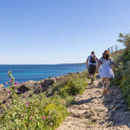
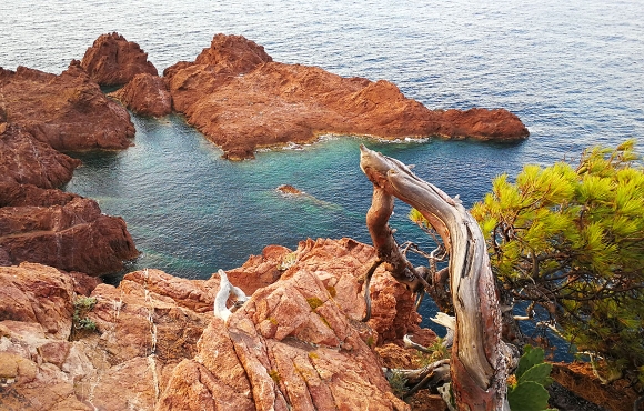
  • Coastal hikes : refreshing, they allow you to walk along the beautiful Var coasts !
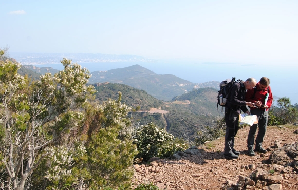
  • Traditional hikes : hiking boots on your feet, choose a hike adapted to your level.
  • Nordic walking outings : a booming sport, for a dynamic and informative hike !

Edition 2020 : Hiking program

Wanna come? sign up for one of the hikes!

Registration can be done directly at the Tourist Offices or clubs indicated above as well as on the hiking map (dates and times in the "Opening times" section)


And the rest of the year?

Dozens of hiking, cycling and mountain biking trails are to be discovered on the website www.circuits.esterel-cotedazur.com.

Some hikes can also be accompanied by a naturalist guide. Find the list of outputs by clicking on the button below :


Guided Nature walks

Estérel Côte d'Azur depending on your mood
Weather
Sea side
Today
-- °C Wind : -- km/h
Tomorrow
-- °C Wind : -- km/h
After tomorrow
-- °C Wind : -- km/h
Hinterland
Today
-- °C Wind : -- km/h
Tomorrow
-- °C Wind : -- km/h
After tomorrow
-- °C Wind : -- km/h
Water temperature
Fréjus -- °C
Saint-Raphaël -- °C
Les Issambres -- °C
+
-

Clic on areas to zoom in

Clear map
Dark map
Map zone 1
Map zone 2
Map zone 3
Map zone 4
Map zone 5
Map zone 7
Map zone 6
Map zone 8
pays de fayence - nord

Fayence area

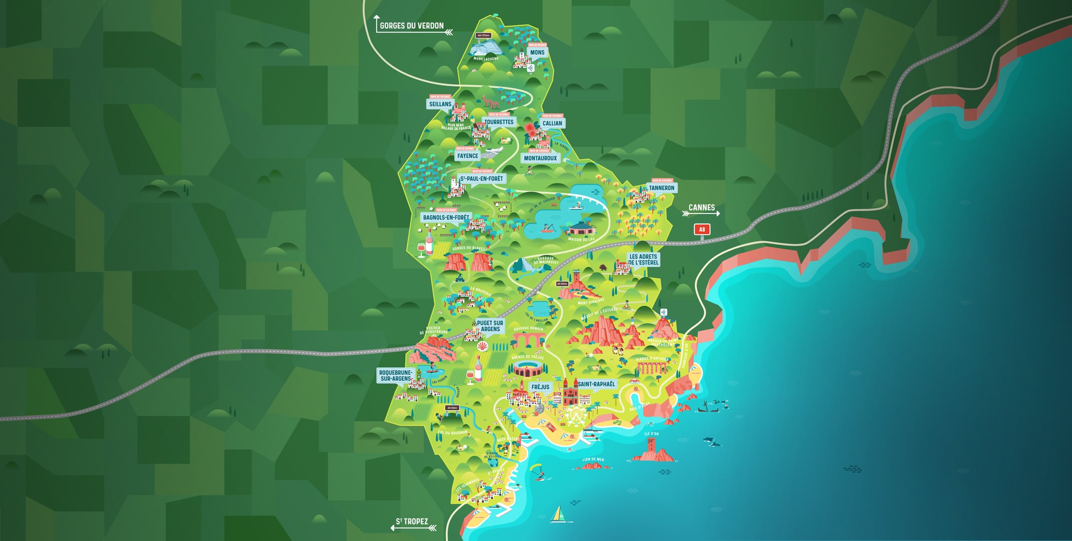
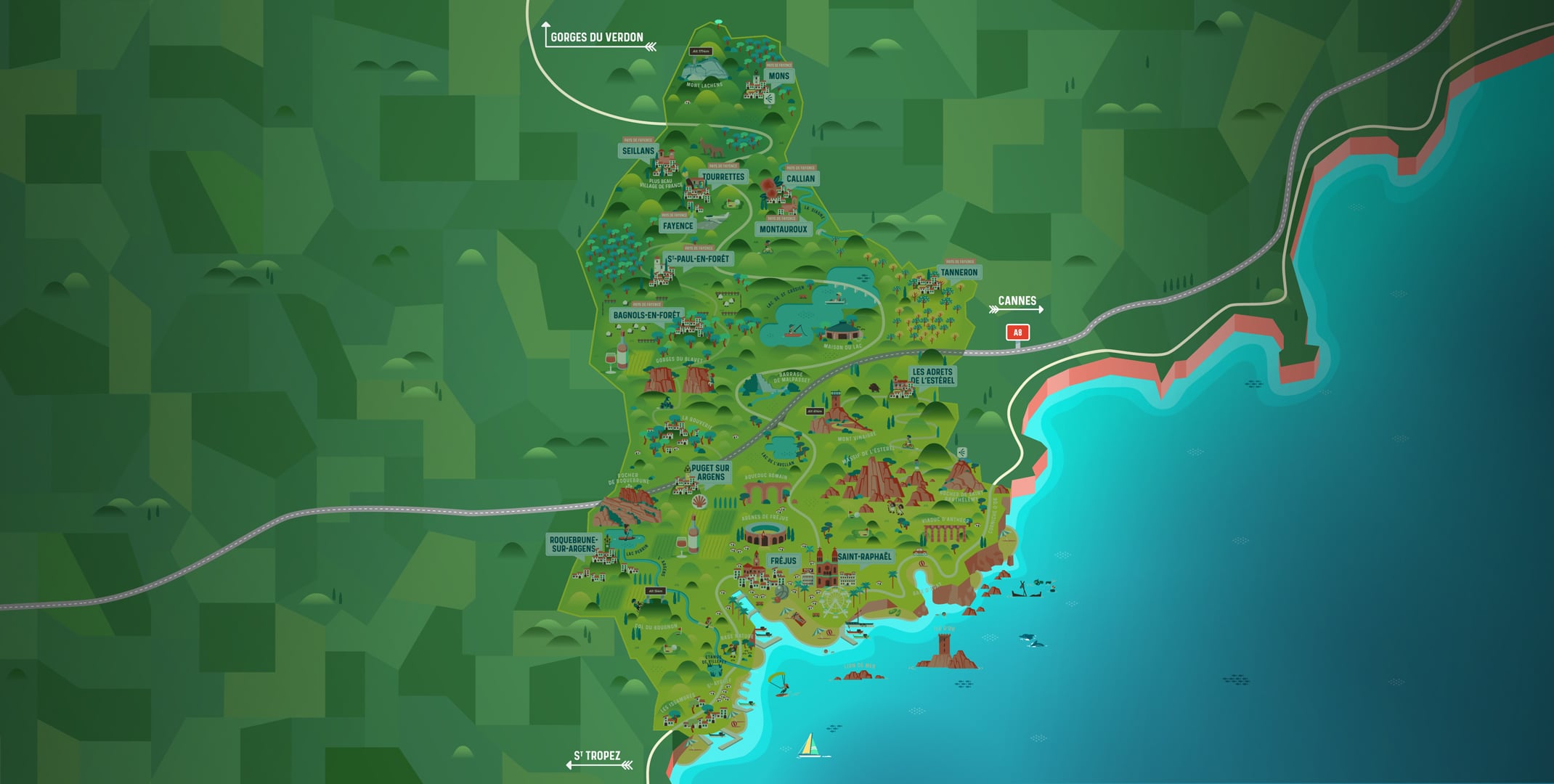
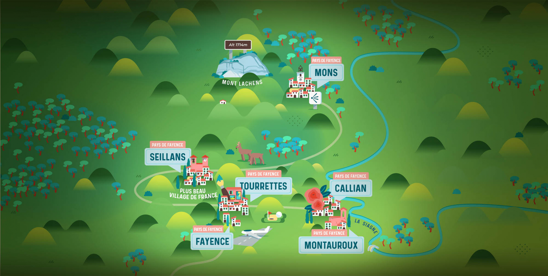
The Pays de Fayence (Fayence district) has many great provencal villages. All of them have a particularity such as the view from Mons or the artistic streets of Tourrettes. Do no forget to stop in Seillans that has the label of "Most beautiful village in France"

Go back to map
pays de fayence - sud

Fayence area

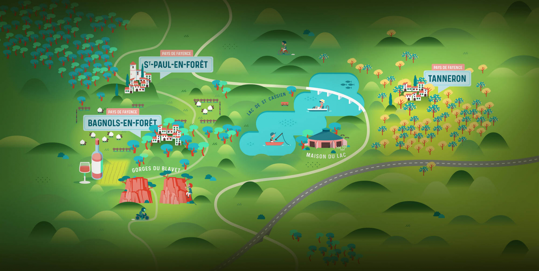
North of the A8 motorway, you will find the Pays de Fayence. Saint-Cassien lake, a real oasis of freshness in the Var, awaits you! Take a break at the Lake House before visiting the villages of Bagnols-en-Forêt, St-Paul-en-Forêt or Tanneron.

Go back to map
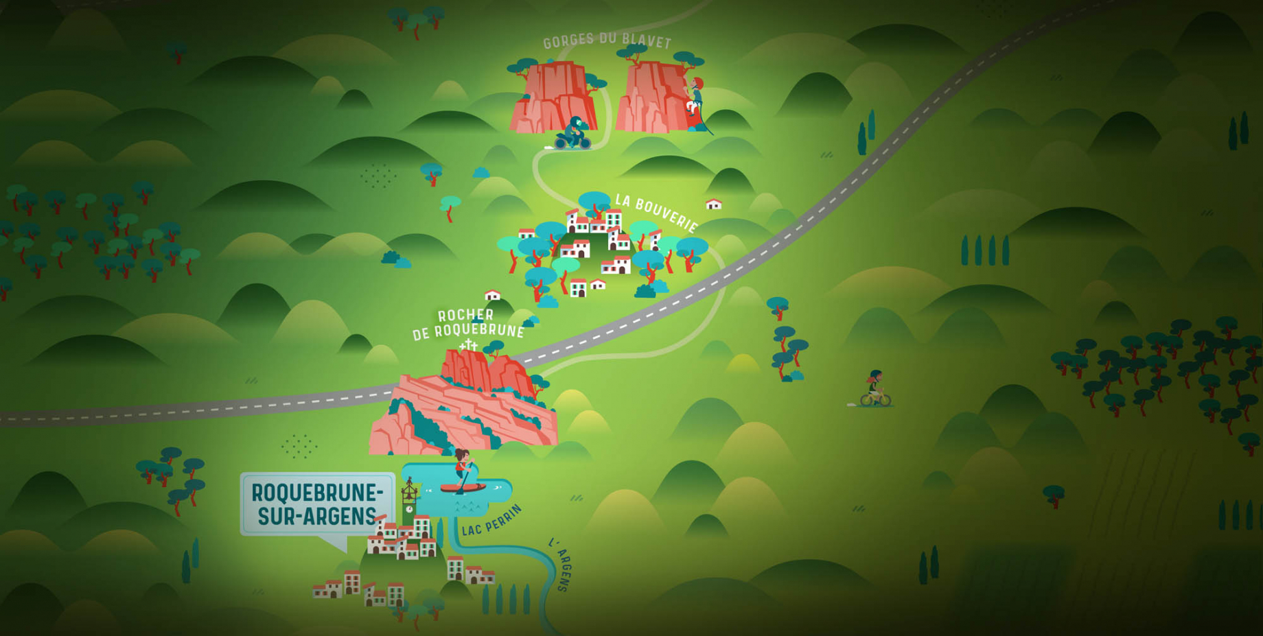
roquebrune sur argens - la bouverie

Roquebrune-sur-Argens

The city of Roquebrune-sur-Argens is the most westerly of the destination. It includes three districts: La Bouverie, at the foot of Gorges du Blavet; The village, overlooked by its magnificent rock, and Les Issambres, with its nautical activities by the sea.

Go back to map
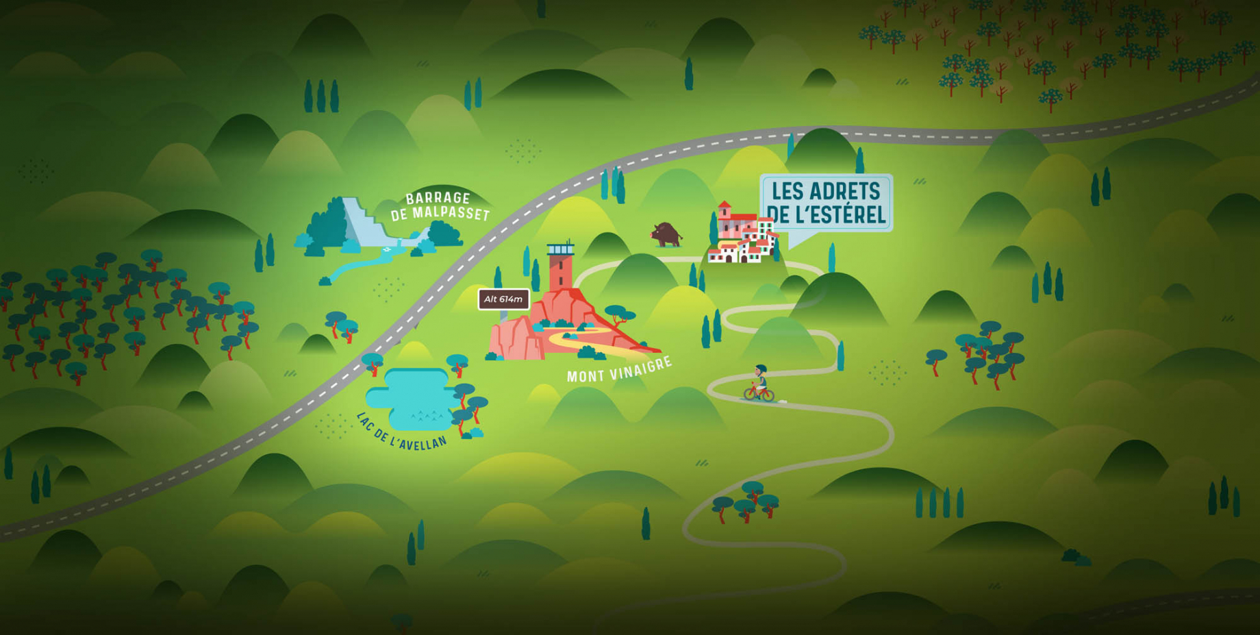
les adrets de l'esterel

Les Adrets de l'Estérel

Les Adrets de l'Estérel is a small town located at the extreme southeastern Var. Bordering the Maritimes Alpes, it is composed of large green forests. The town overlooks the bay of Cannes and has an exceptional view on the Lérins Islands and the Corniche de l'Estérel.

Go back to map
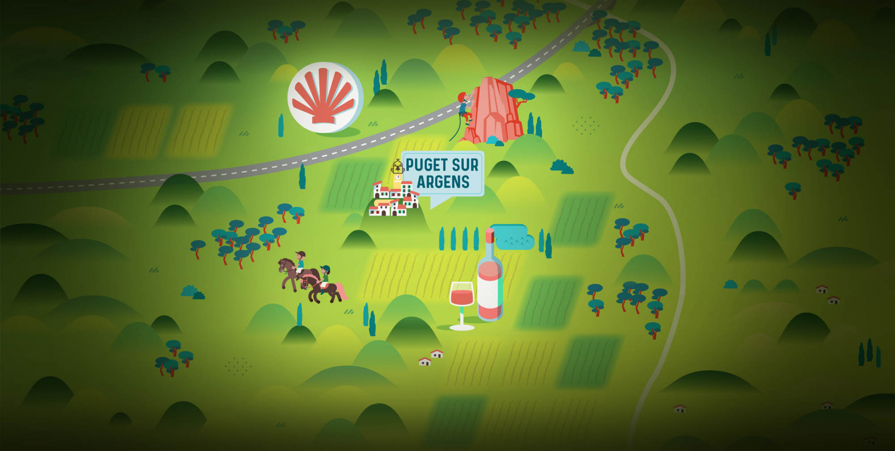
village de puget sur argens

Puget sur Argens

Puget sur Argens is a small village located in the middle of many wineries. Its commercial area, near the village, includes many shopping center. North of the village, the Bois du Defens give rise to several walks.

Go back to map
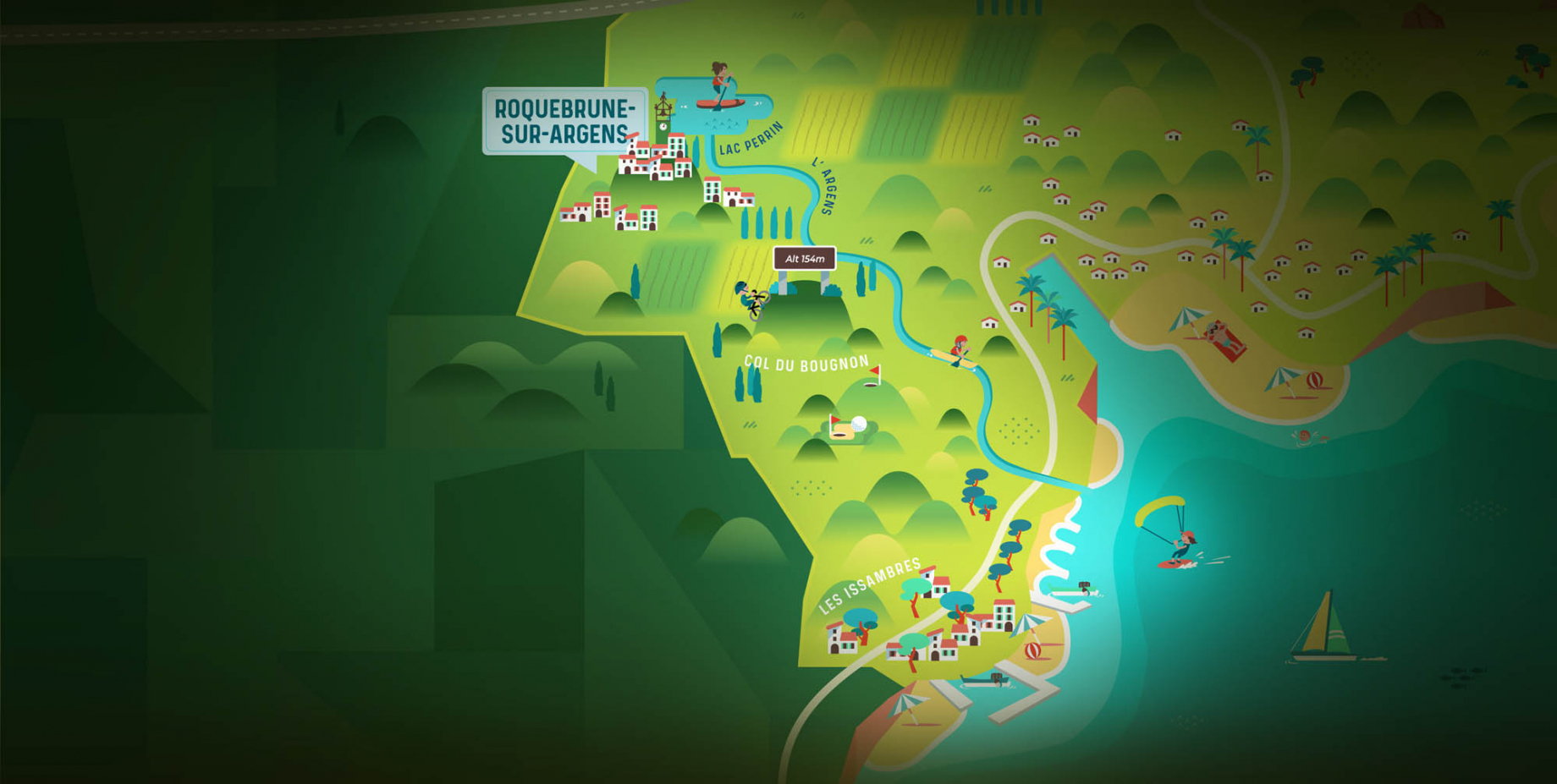
roquebrune-sur-argens - les issambres

Les Issambres

Welcome to Les Issambres, the district of Roquebrune-sur-Argens located on the coast. True paradise with its 8 km of beaches and creeks, this family seaside resort, already frequented at the time by the Romans, is located between the Gulf of Saint-Tropez and Fréjus-Saint Raphaël.

Go back to map
ville de frejus - saint-aygulf

Fréjus

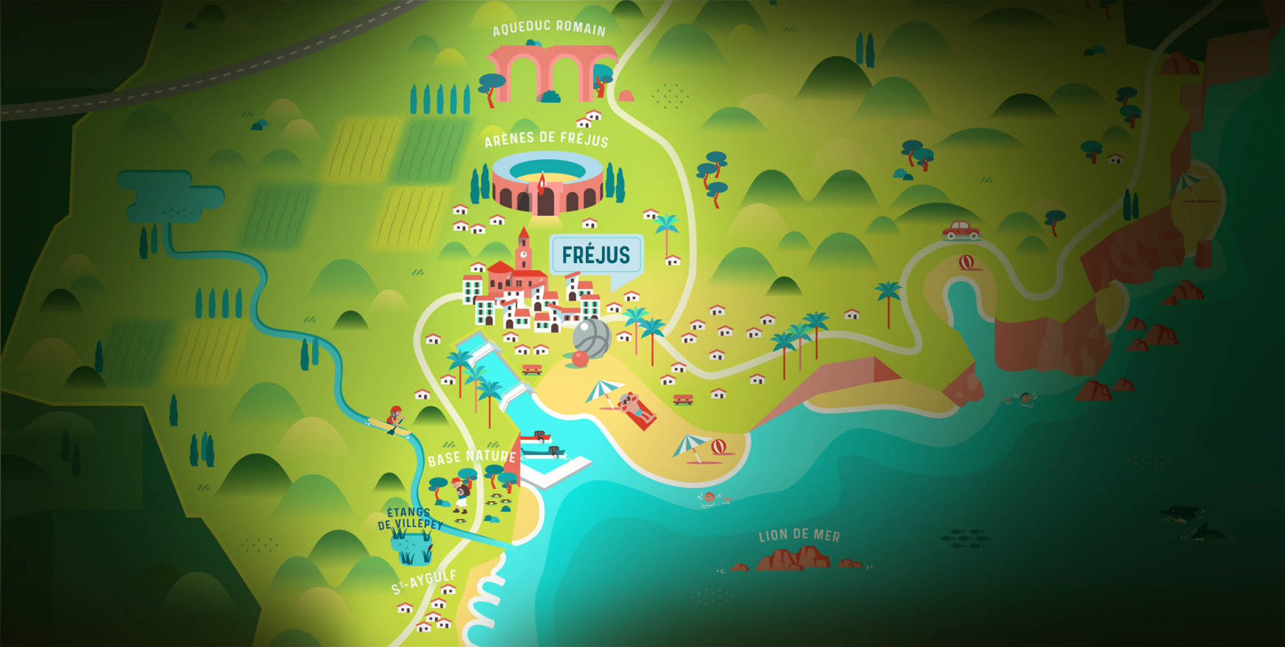
Frejus, located halfway between Cannes and Saint-Tropez, is at the heart of the Côte d'Azur. Based on a sandstone buttress of the Esterel massif, the town dominates the valleys of Argens and Reyran. Frejus has the appearance of a small Provencal town whose new districts extend to the sea.

Go back to map
saint-raphael - massif de l'esterel

Saint-Raphaël

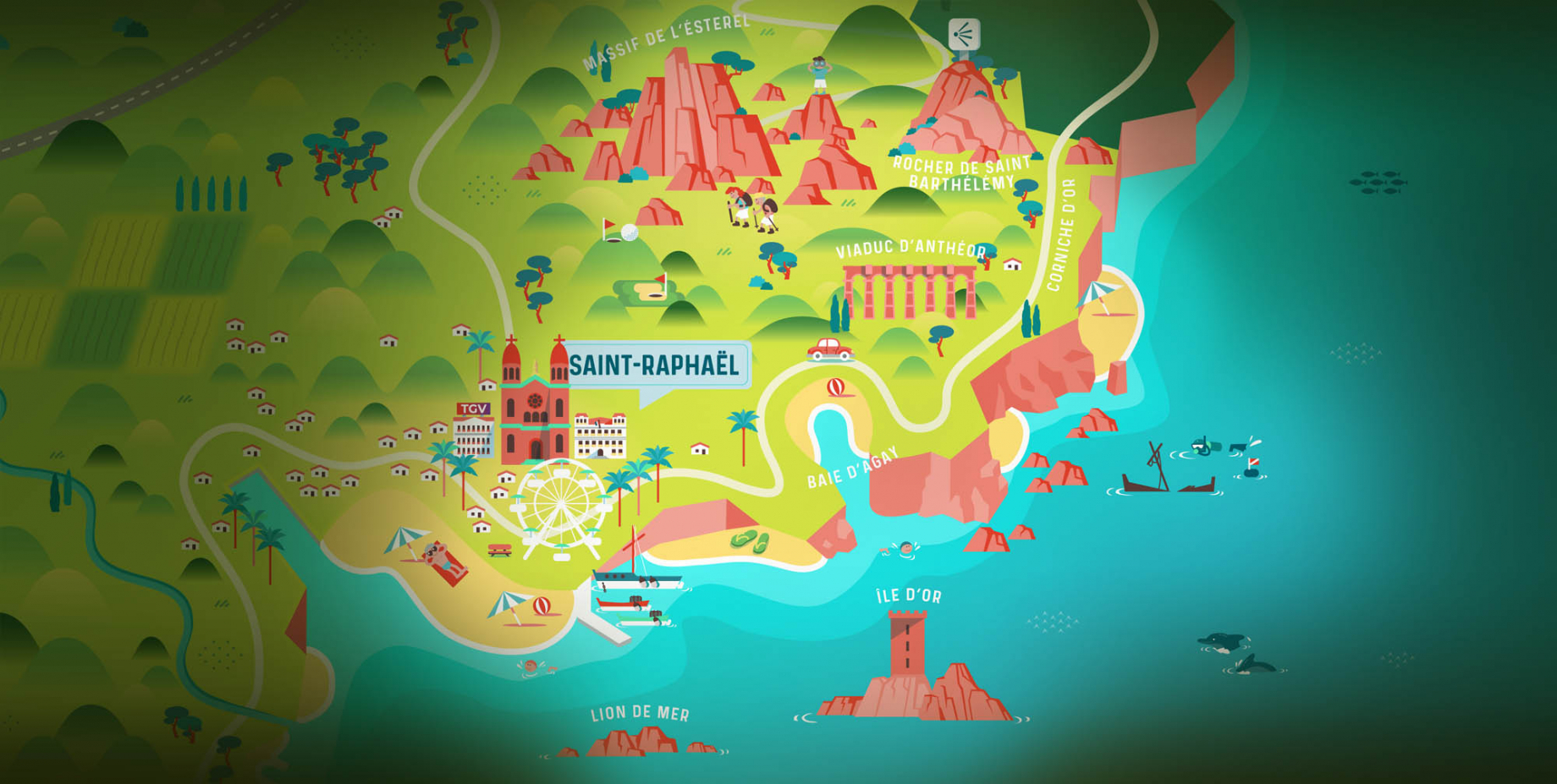
65km from Nice Côte d'Azur International Airport, Saint-Raphaël is located between Cannes and Saint-Tropez. This seaside resort on the Mediterranean coast is at the bottom of the great Esterel mountains. Saint Raphael, whose city center is by the sea, is divided into different neighborhoods that have all their characteristics and their personalities.

Go back to map
Fayence areaFayence areaRoquebrune-sur-ArgensLes Adrets de l'EstérelPuget sur ArgensLes IssambresFréjusSaint-Raphaël
Webcams
Subscribe to our newsletter